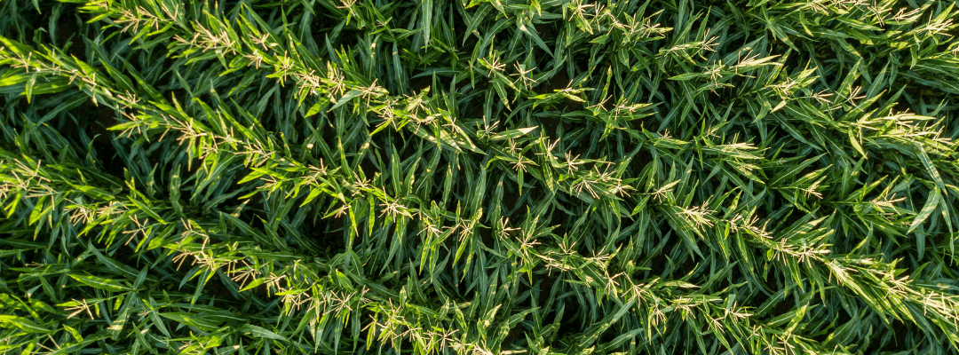
What’s scarier than a goblin and more frightening than a werewolf?
That would be the dreaded ghost corn imagery.
Wait, what is that you may ask?
It’s when you get a drone up in the air to get an aerial view of your plots or fields, and what comes back… is a washed out rendition of your field. Here’s an example that showcases what we mean quite well:

On the right, you can barely see some of the greenery due to the color not being as strong as the image taken with a different sensor – the Sentera 65R – on the left.
With this imagery, how are you able to come to any conclusions? Can you even pull together a mosaic that can help you assess crop health – after all, everything looks a little stressed.
Now, no need to distress – there is a way to avoid the frightening reality of ghost corn imagery! It starts by having a sensor designed to capture more precise and sharper aerial RGB imagery.
Control the Color Quality
One of the most important considerations for evaluating color quality in an RGB drone sensor is its dynamic range. Dynamic range is the difference between the brightest and darkest areas that a sensor can capture without clipping or losing detail. A sensor with a high dynamic range will be able to capture more detail in both the highlights and shadows of an image, resulting in a more realistic and accurate representation of the scene.
This is a good comparison to see differences in color quality:

The camera on the left – the Sentera 65R – captures more details of the plants; while the sensor on the right misses some leaves. This can lead to some major inaccuracies in analysis.
Another important consideration is the sensor’s color accuracy. This refers to the sensor’s ability to accurately reproduce the colors of the scene it is capturing. A sensor with high color accuracy will be able to produce images that are true to life, with colors that are vibrant and realistic.
Some drone sensors will come with the ability to activate creative or artistic modes, and while this may be tempting, it can skew the imagery and negatively impact your analysis.
Focus on Higher Resolution
The physical size and resolution of an aerial sensor are important factors to consider. Larger sensor sizes generally offer higher light-gathering capabilities, resulting in improved image quality, especially in low-light conditions.
Higher resolution sensors capture finer details and facilitate precise analysis of crop health indicators, enabling more accurate decision-making. However, a trade-off here comes with price. Higher resolution sensors tend to be more expensive, and can be cost-prohibitive to users just starting to capture aerial imagery. Finding a balance on what makes the most sense based on the resulting analytics and use of data is important.
Check the Frame Rate
The frame rate of an aerial sensor refers to the number of images it captures per second. Higher frame rates can result in time savings for data capture, meaning you can capture imagery faster and accommodate more flights in the season. enabling the capture of rapid changes in crop conditions.
This is particularly important when monitoring dynamic agricultural processes such as plant growth, disease progression, or irrigation patterns. The frame rate can also impact how fast your drone can fly – the faster the frame rate, the higher speeds your drone can fly while still capturing high-resolution aerial imagery. (This also equates to less battery changes in the field per flight!)


