Sentera PHX Fixed-Wing Drone
Fly Fast, Fly More, Fly PHX





Sentera PHX
Efficient Fixed-Wing Drone for Precision Data Capture
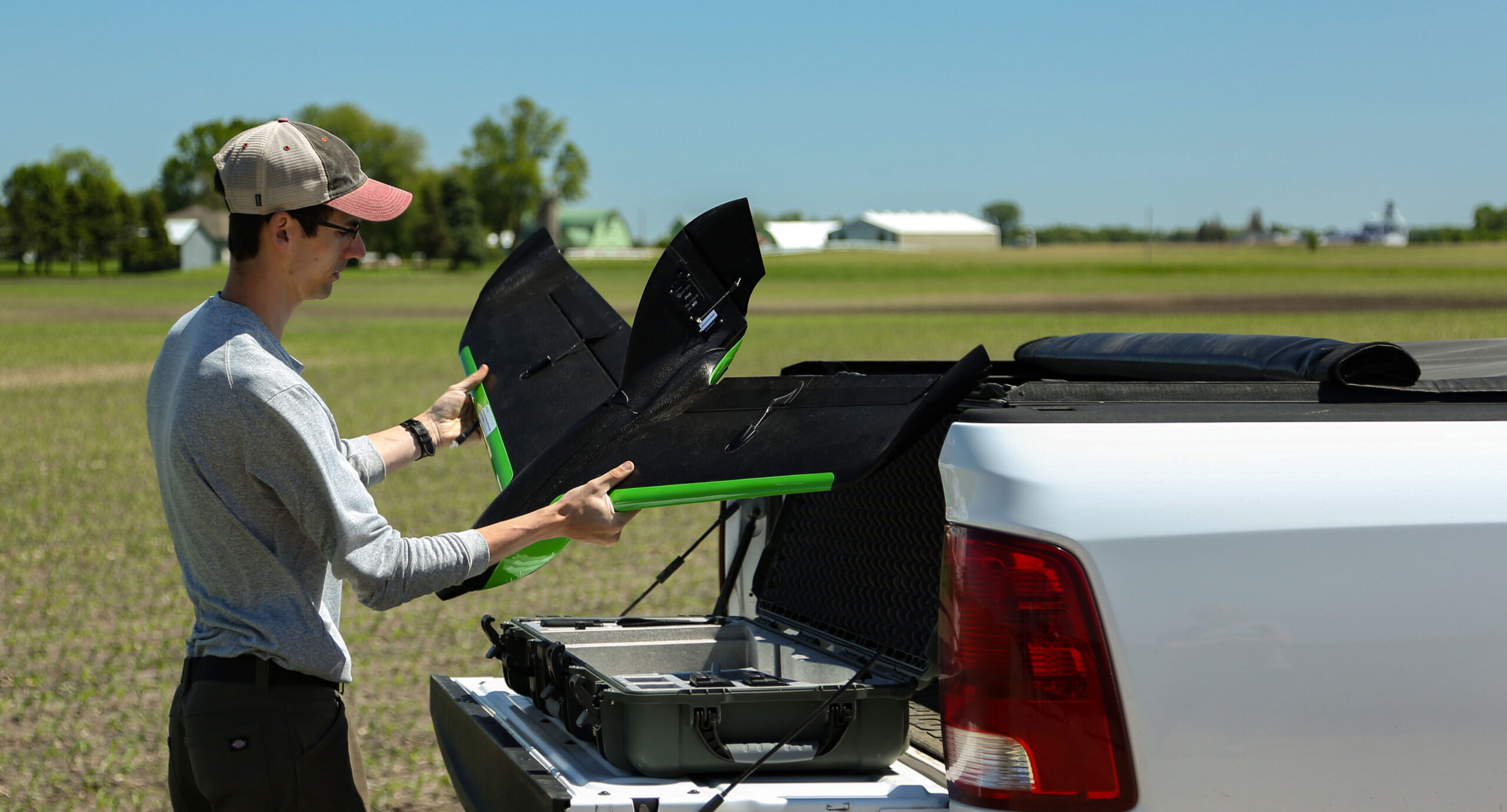
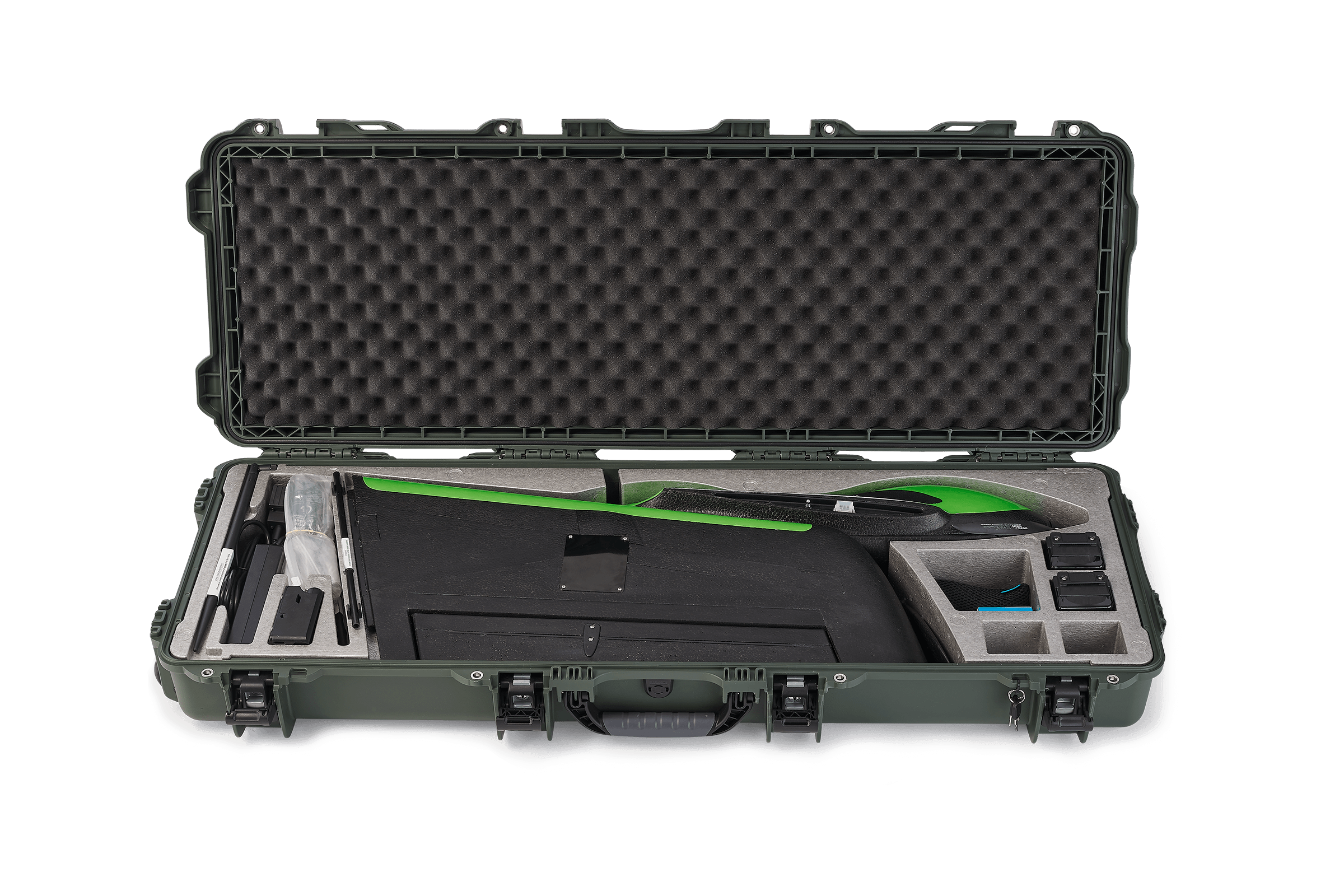
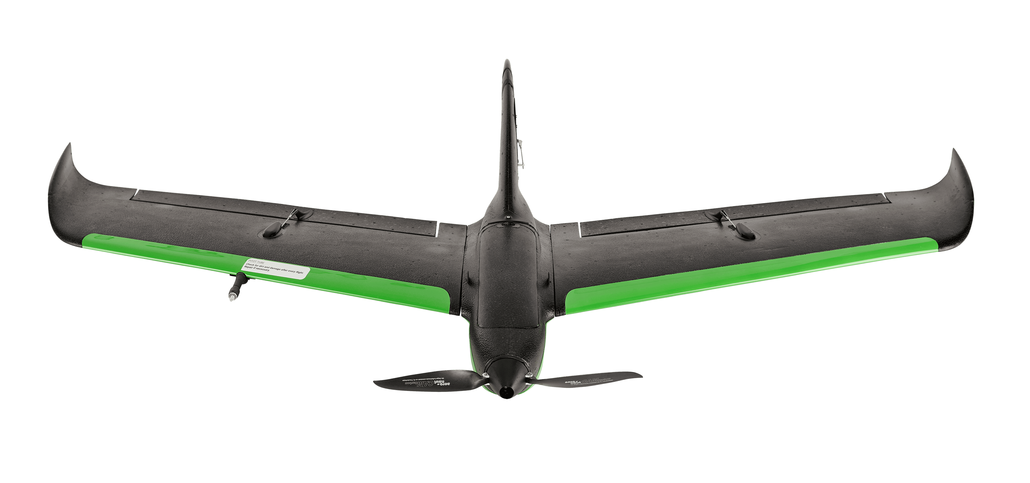
The Sentera PHX is a durable, multi-role fixed-wing drone designed for broad-area data collection. With up to 59 minutes of flight time and a 35 mph cruise speed, it maximizes productivity in the field. Paired with payloads like the Double 4K and 65R sensors, the PHX supports diverse applications, including crop health monitoring, mapping, and surveying. Its rugged construction using expanded polypropylene, polycarbonate, and carbon fiber ensures reliable, cost-effective operation and easy maintenance.
SENTERA PHX
Use Cases and Data Products
The Sentera PHX performs in almost any remote sensing and mapping application to meet your needs:
- Crop health monitoring, plant counting, and disease detection
- High-resolution imaging for detailed surveys and 3D reconstructions
- Elevation mapping, volumetrics, and monitoring of natural resources
- Infrastructure inspection
- Disaster assessment and response
- Surveying large conservation or remote areas
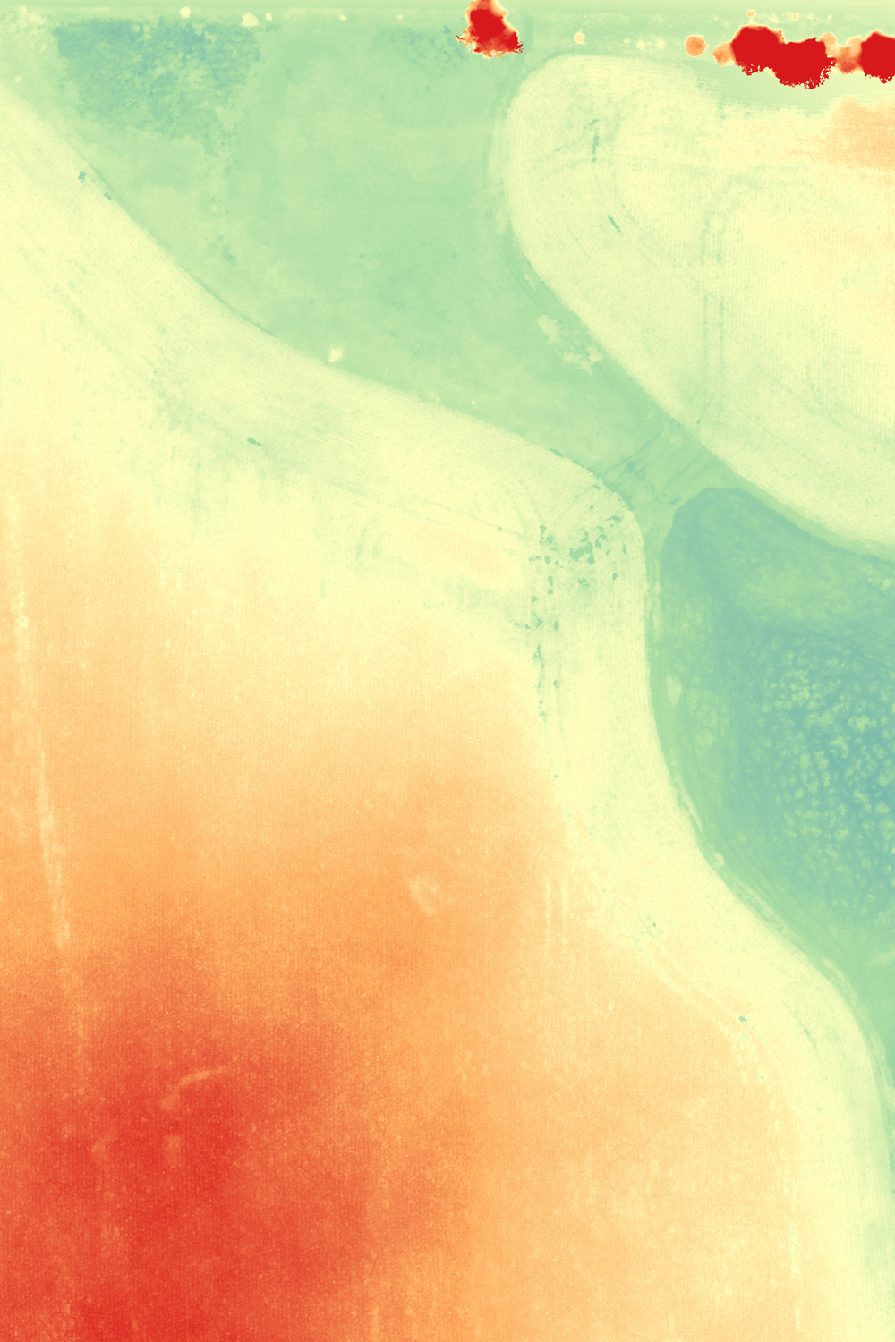
DEM/DSM/ELEVATION
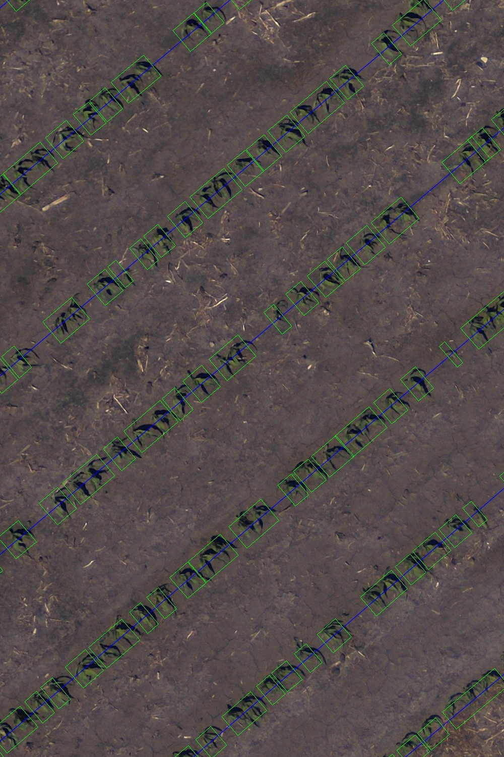
STAND COUNT
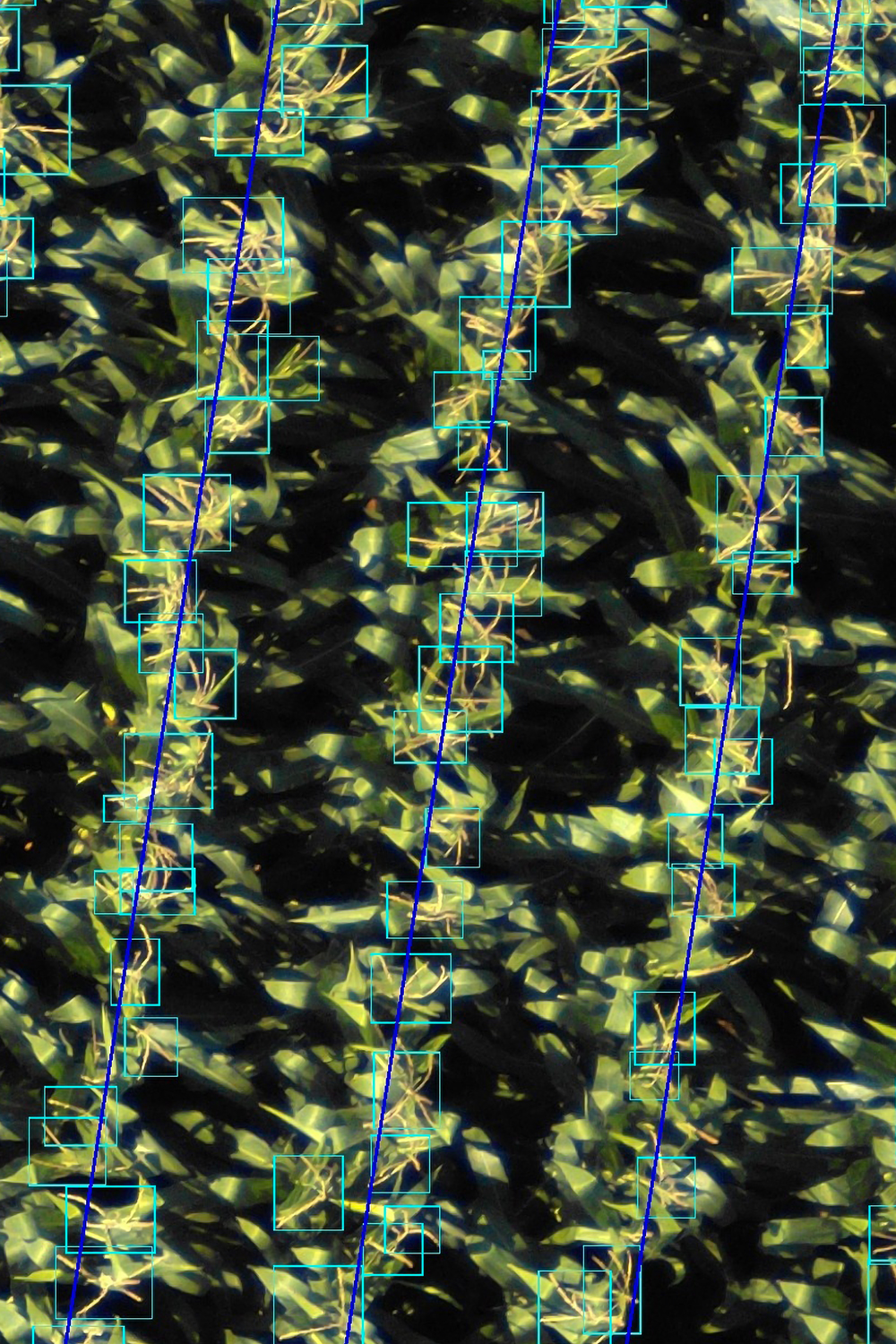
TASSLE COUNT
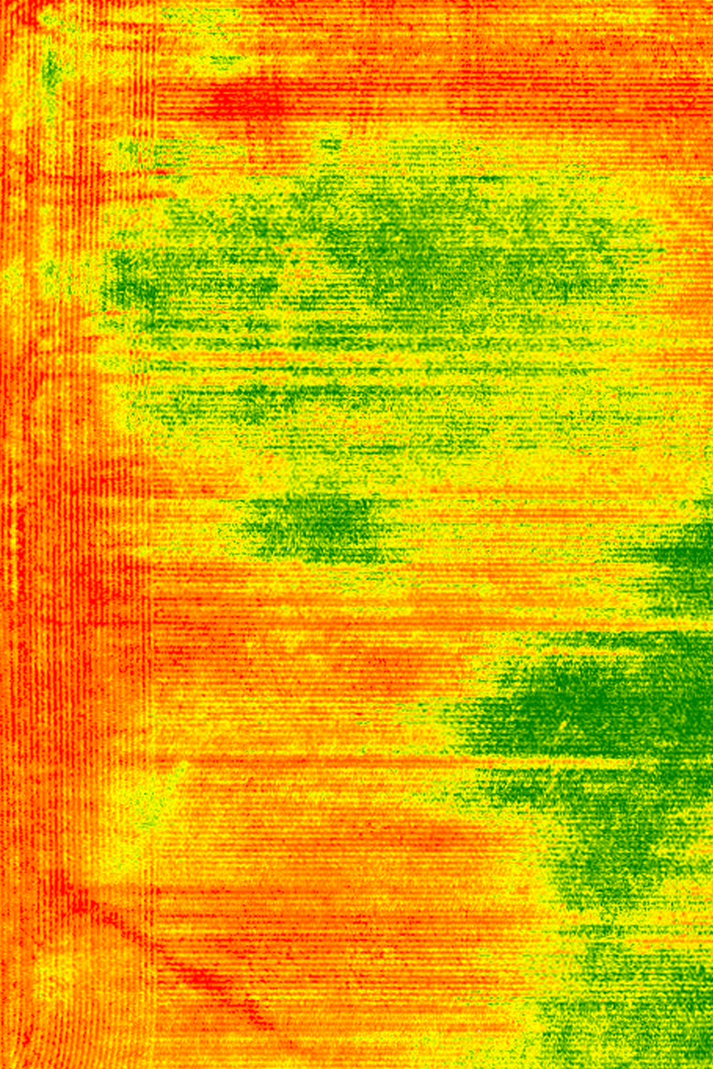
CROP HEALTH
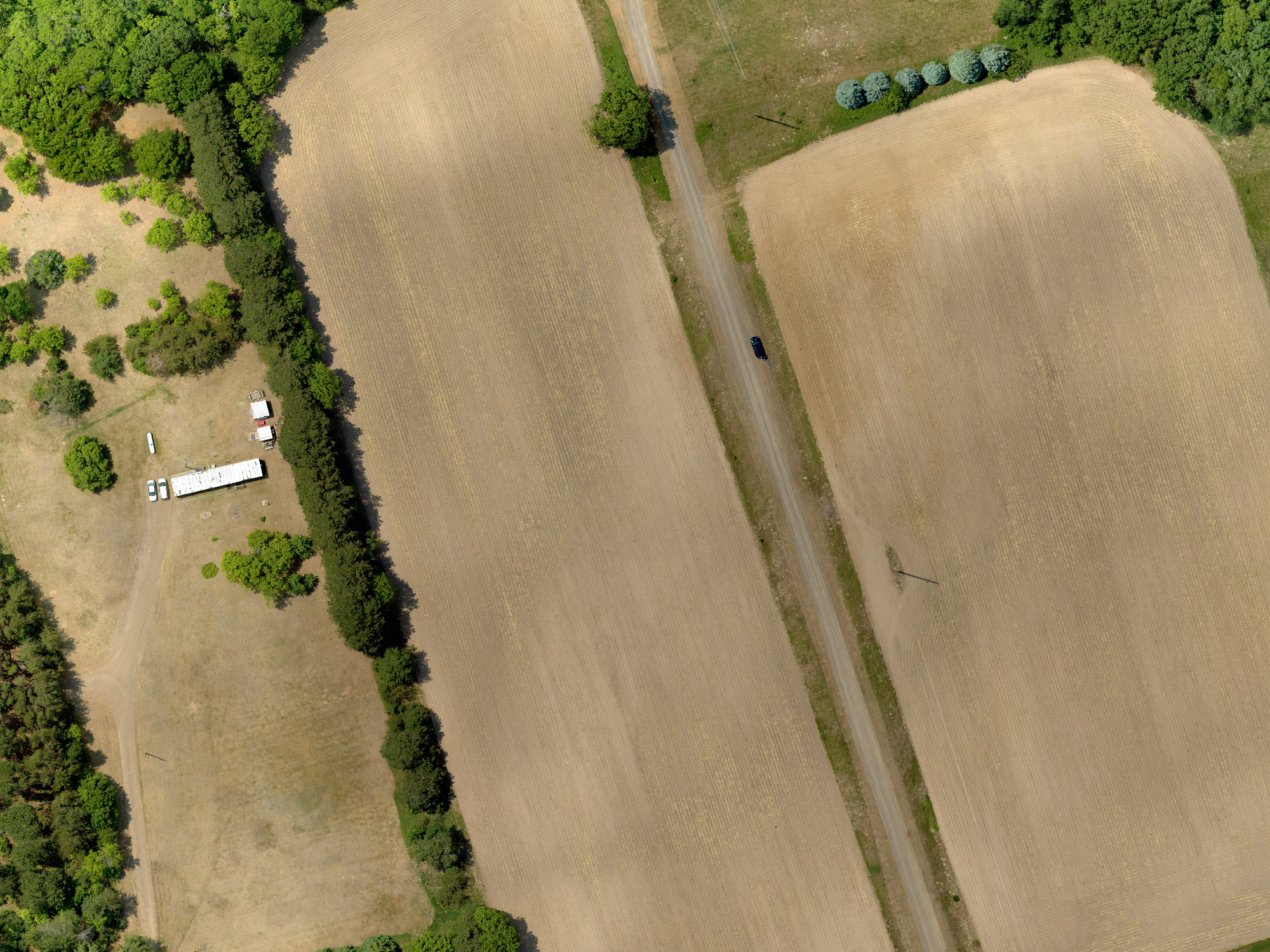
RGB
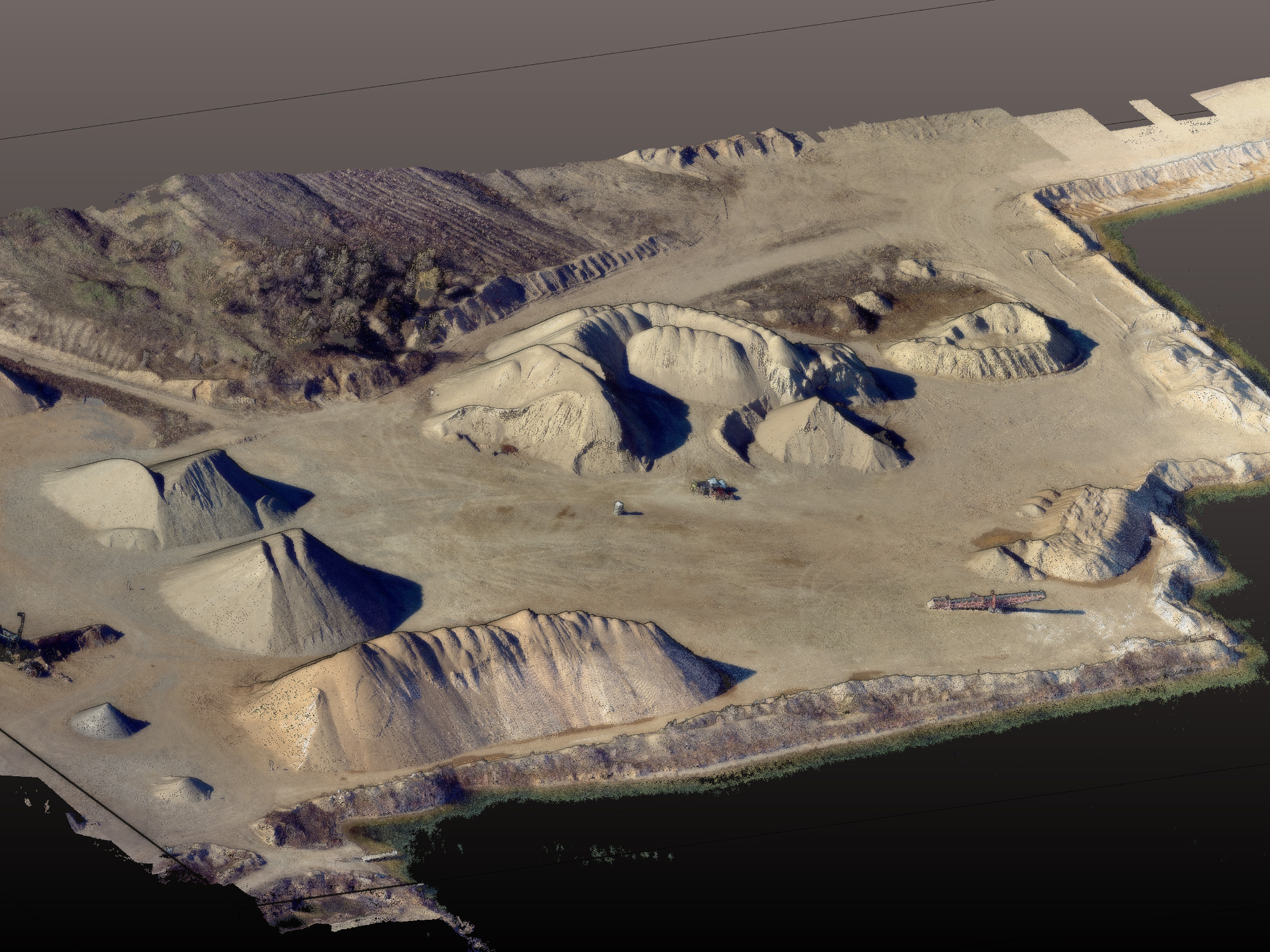
VOLUMETRICS/3D RECONSTRUCTIONS
Precision When You Need It
Optional RTK GPS capabilities enable up to 3cm accuracy for critical mapping and survey applications.
SENTERA PHX
Sentera PHX Payloads
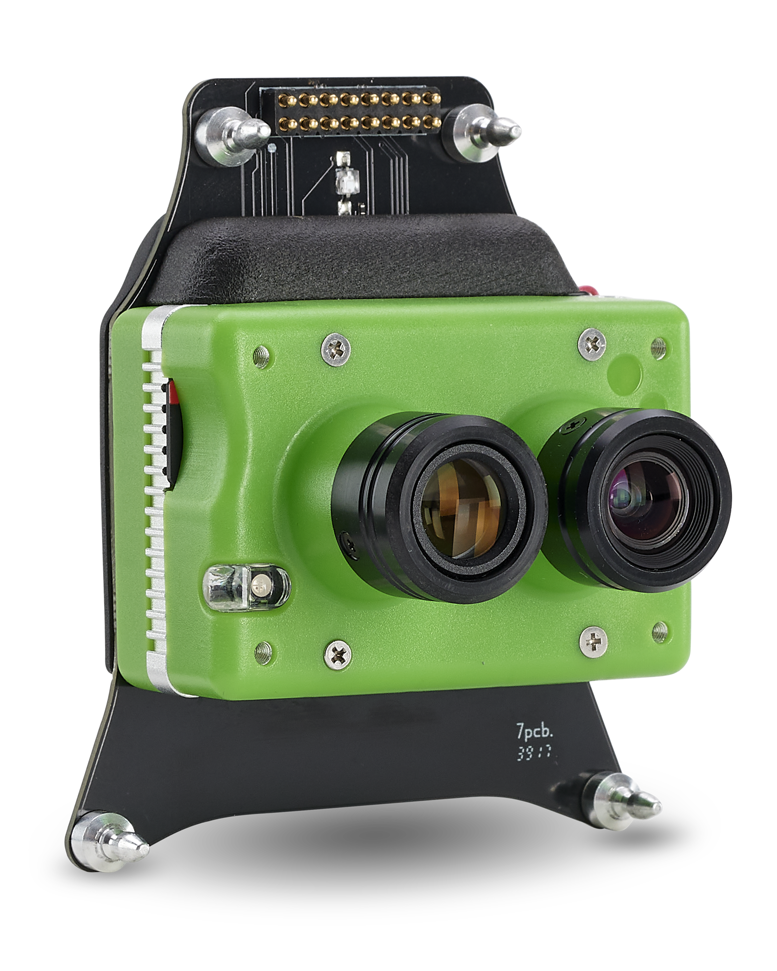
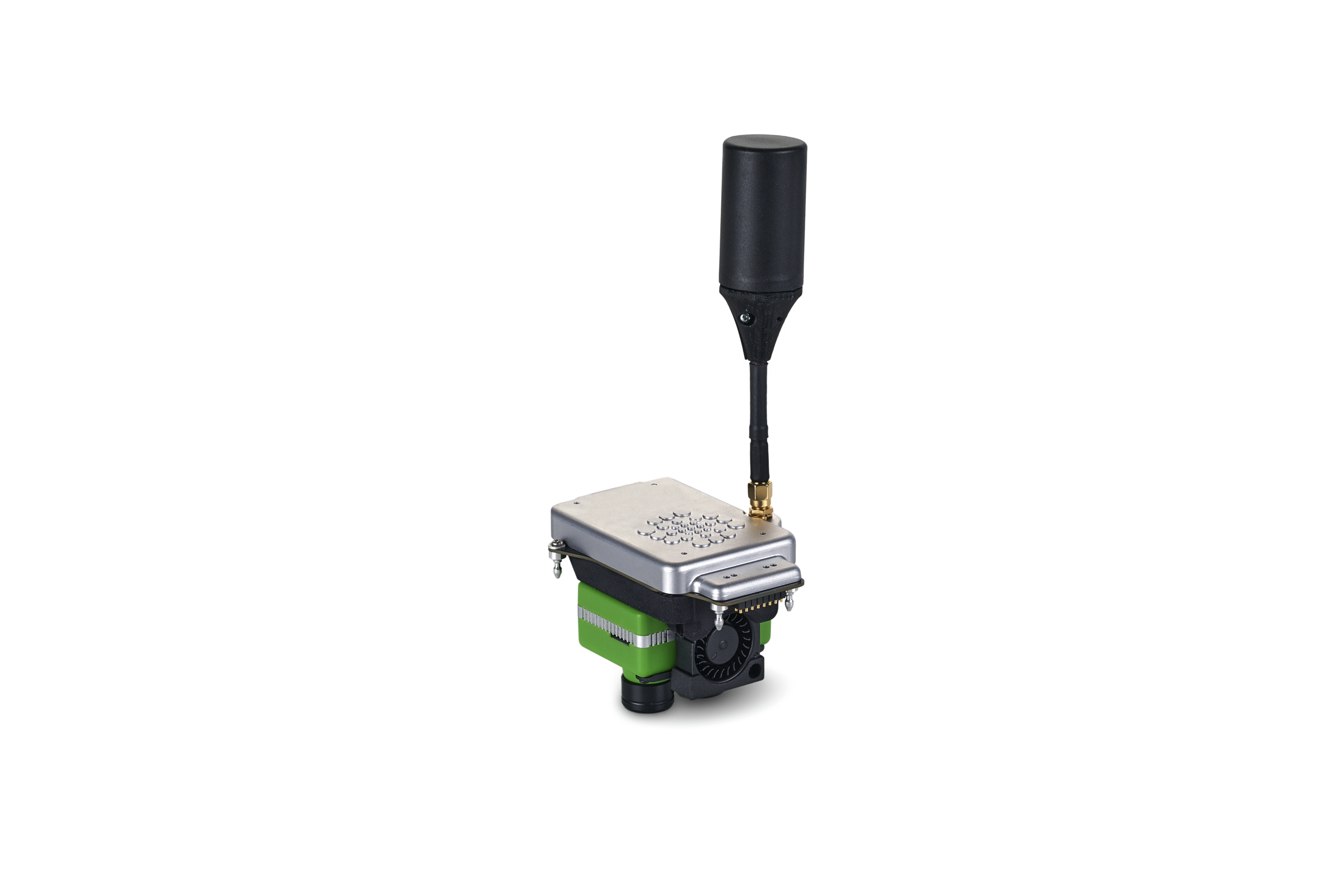
Sentera Double 4K Sensor
Dual-Lens Innovation for Enhanced Crop Insights
The Sentera Double 4K is a lightweight, compact dual-imager payload designed for UAS applications. Its dual-lens flexibility enables the capture of RGB and multispectral data in a single flight, making it an adaptable solution for diverse mapping and remote sensing needs.
- Multiple standard lens and filter configurations available.
- Compatible with nearly any drone system to enhance existing capabilities.
- Captures up to two images per second for faster flights and broader area coverage.
- Tailored for efficient, actionable, and cost-effective data collection.
Select one of four variations of the Double 4K to get the data you need, when you need it!
(per imager)
Red Edge + NIR (NDRE)
Red + NIR (NDVI)
Red + NIR (NDVI)
Red Edge + NIR (NDRE)
Sentera 65R Sensor
Global Shutter High-Resolution Sensor
The Sentera 65R Sensor offers 65-megapixel global shutter RGB imagery optimized for drone integration. Its compact, lightweight design enhances efficiency by extending flight times and enabling high-resolution data collection with fewer images needed for comprehensive coverage.
- Provides 9344 x 7000-pixel resolution with a ground sampling distance of 0.45 cm/pixel.
- Lightweight, compact design increases flight efficiency and duration.
- High-resolution imagery reduces the number of images required for complete area coverage.
- Engineered to deliver actionable, efficient, and detailed data for professional use.
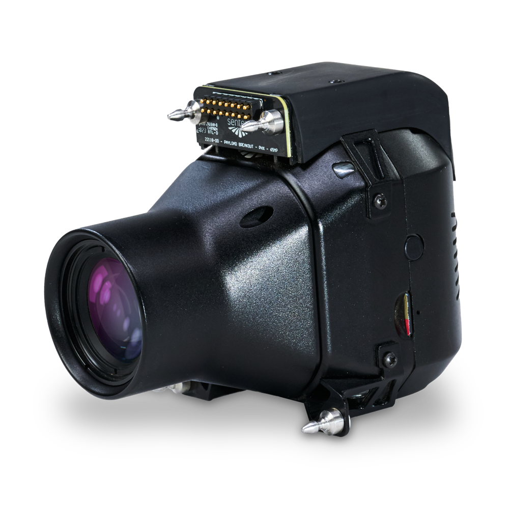

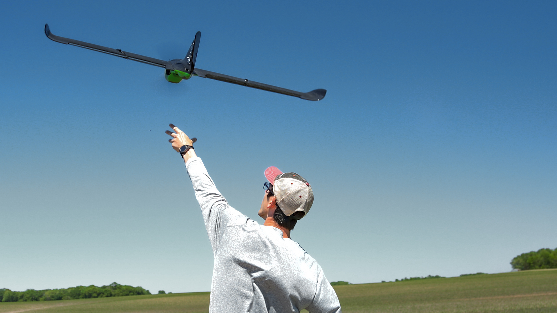
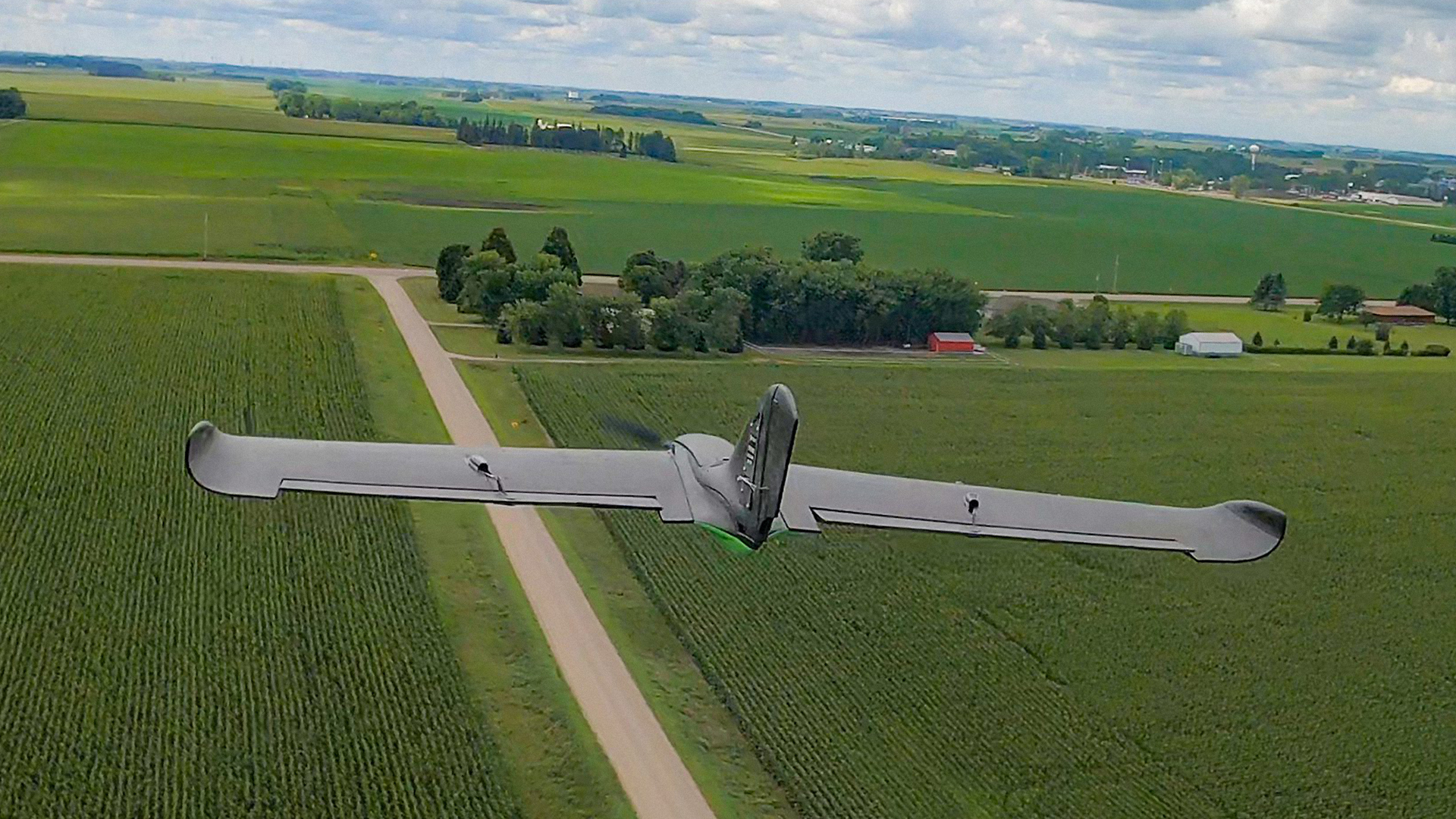
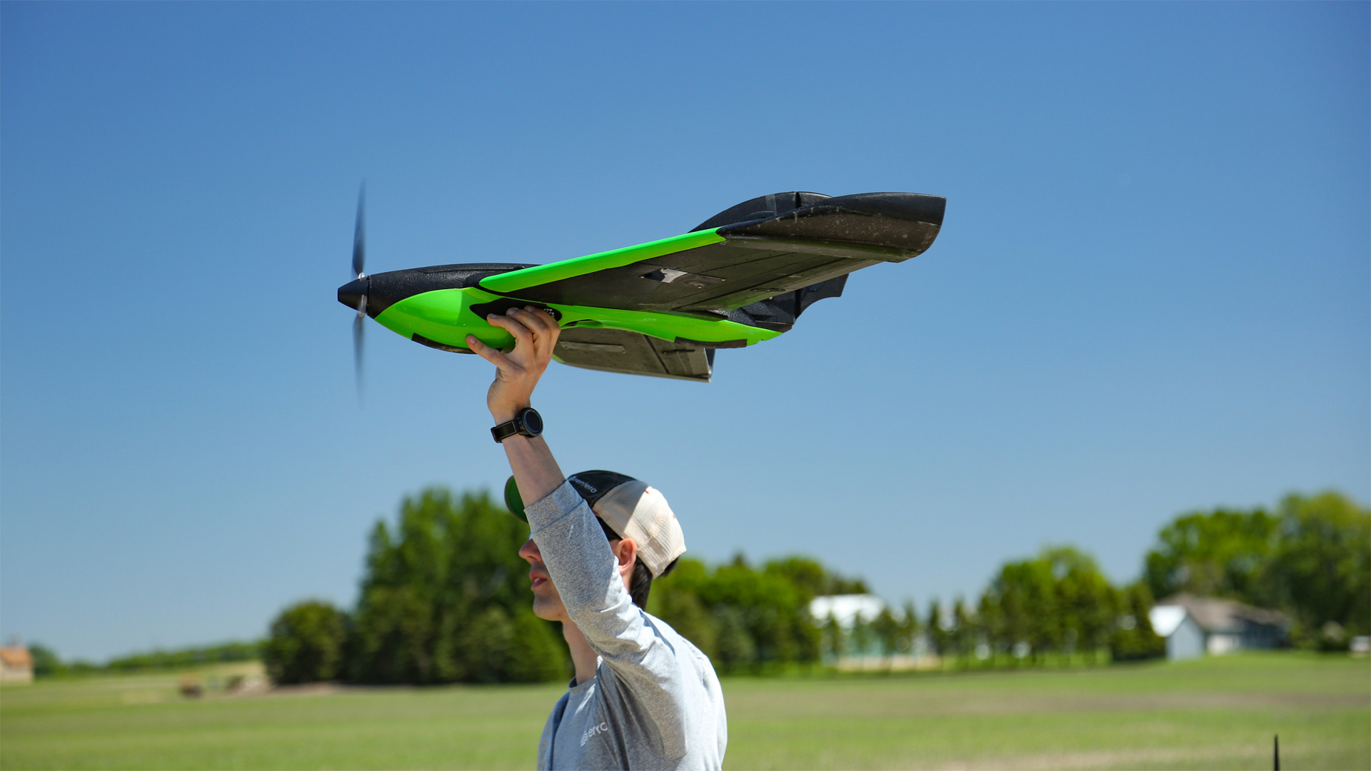
Sentera PHX
A Fixed-Wing Drone For Efficient Data Collection
The PHX’s ability to fly for nearly an hour at 35 mph allows for the capture of orthomosaic-quality data over 300 acres per battery.
(NDVI/NDRE, AG+, Multispectral)
(20% battery reserve)
(70% overlap)
130 ha @ 1.4cm/px
142 ha @ 3.4cm/px
142 ha @ 3.4cm/px
580 ac* @ 0.1in/px
235 ha* @ 0.28cm/px
*Stand & Tassel Count 150ft AGL, approximately one image per acre

FROM THE FIELD
From The Field – This Is a Game Changer
“From knowing where you need to replant or whether you need to go spray, the insight you get from the aerial imagery helps identify priorities to maximize yield – which is what matters most at the end of the day.”
~ Erich Eller, President of ForeFront Ag Solutions
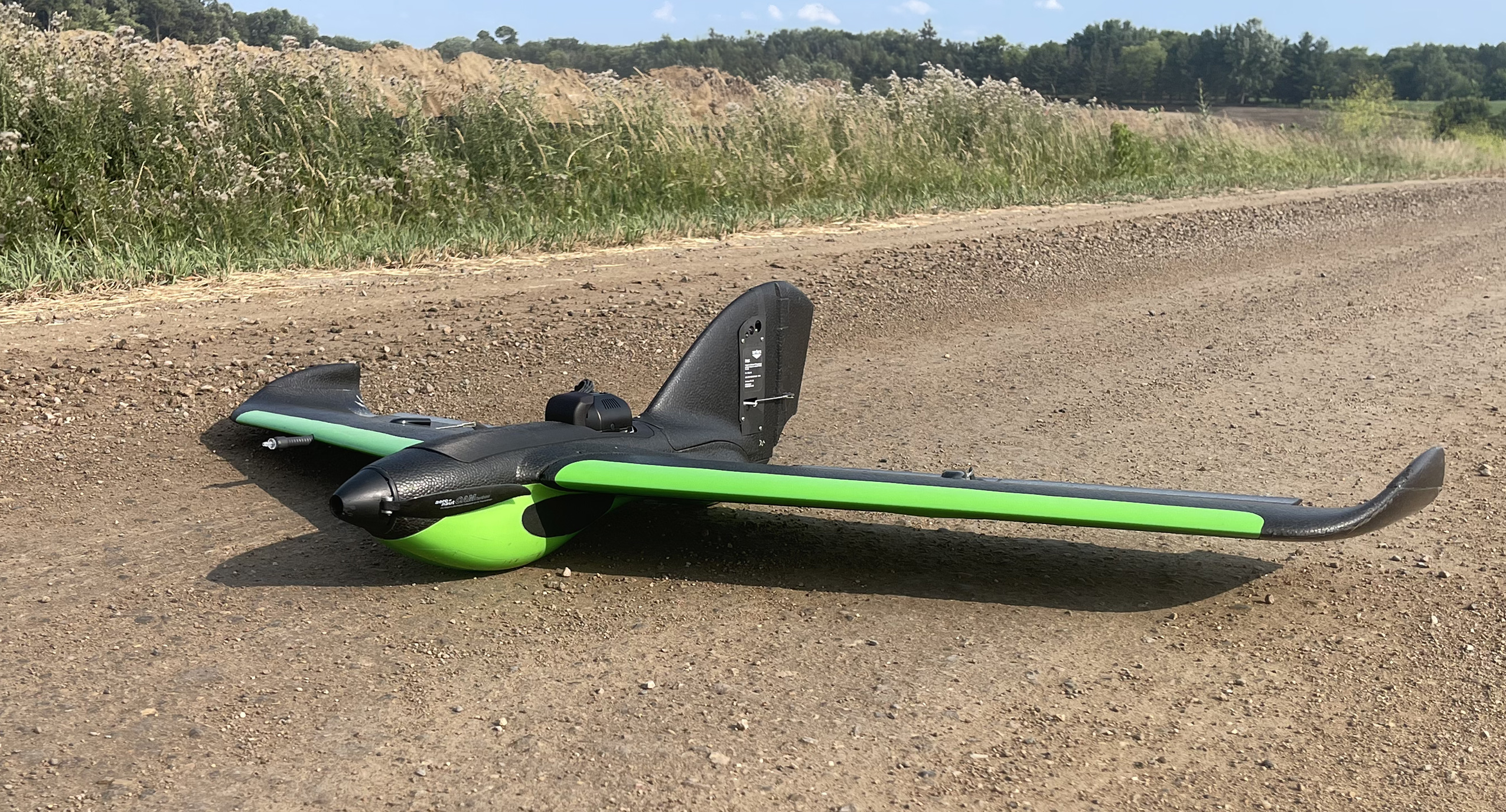

Anatomy of the Sentera PHX Fixed-Wing Drone

Pitot Tube
Our patented design is flexible and durable to optimize airspeed measurements.
Propeller
Get in the air, faster with the PHX hand launch technique -- powered by our propeller in the back of the drone.
Compass & Airspeed Sensor
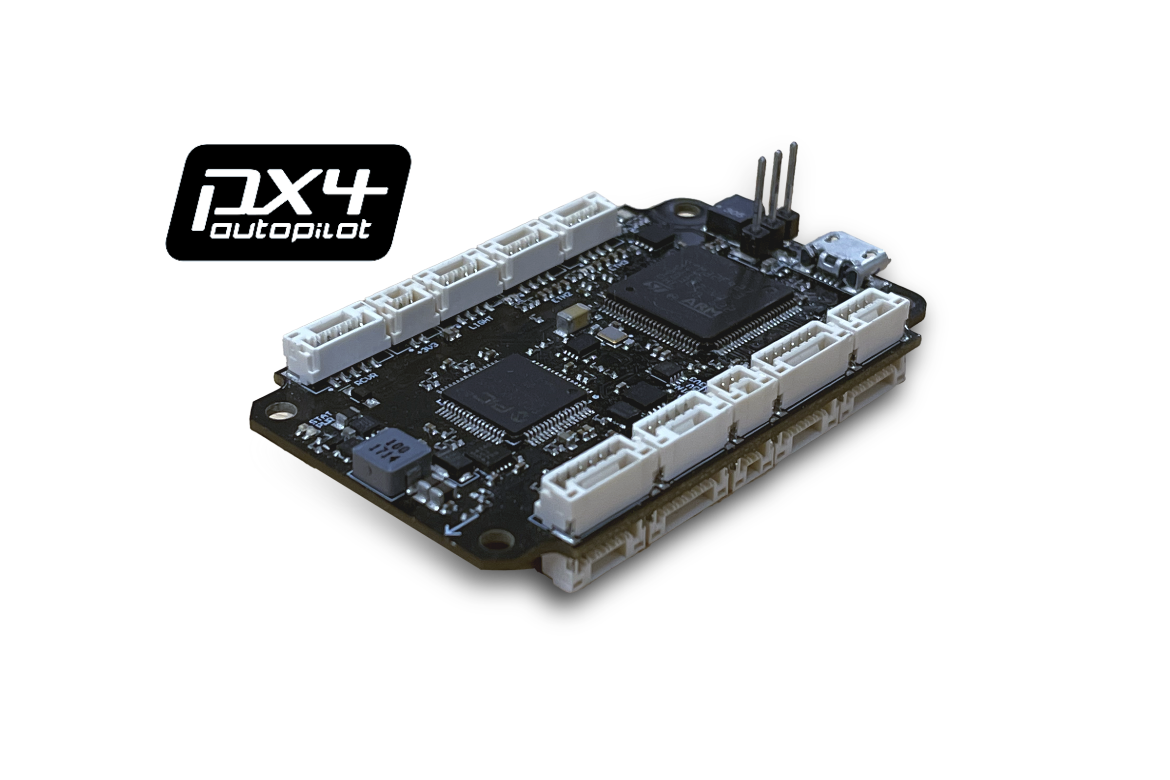
Flight control made easy with our built-in compass and airspeed sensor.
GPS
Onboard GPS sensors means your PHX will automatically maintain commanded altitude, no manual control required.
Battery
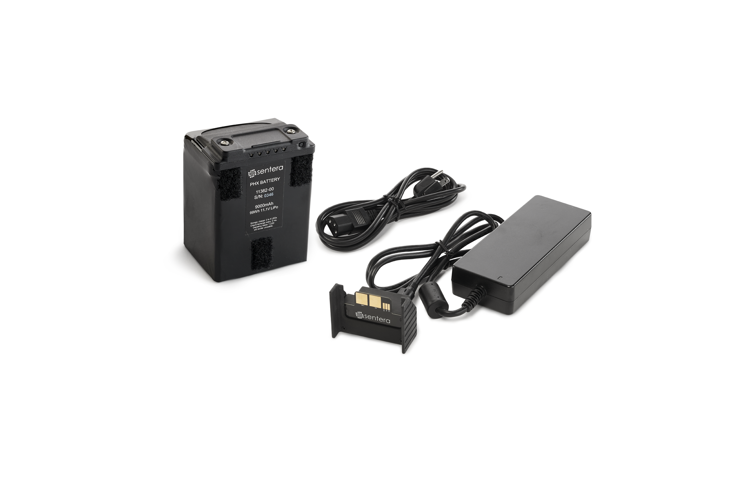
Charge faster, and fly longer, with our smart Lithium polymer battery complete with health alerts.
Data Link
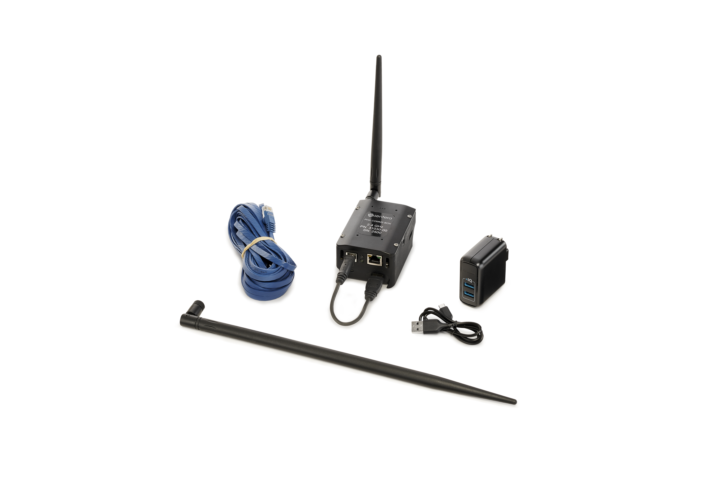
With a two-mile connection radius, our CommsBox means you always know the location of your PHX.
Fixed Wing
Fixed wing design results in faster flights -- 3x faster than other drones on the market.
Sentera PHX
Durability and Reliabilty
Built to withstand harsh conditions, the PHX’s durable design using expanded polypropylene, polycarbonate, and carbon fiber ensures long-term use and easy maintenance.
- Designed for user-maintenance to avoid downtime
- Spare parts readily available online for fast, transparent access
- SenteraCare extended warranty includes access to loaner aircraft and a $0 deductible for first-time repairs
Fly PHX App
Fly PHX Flight Application
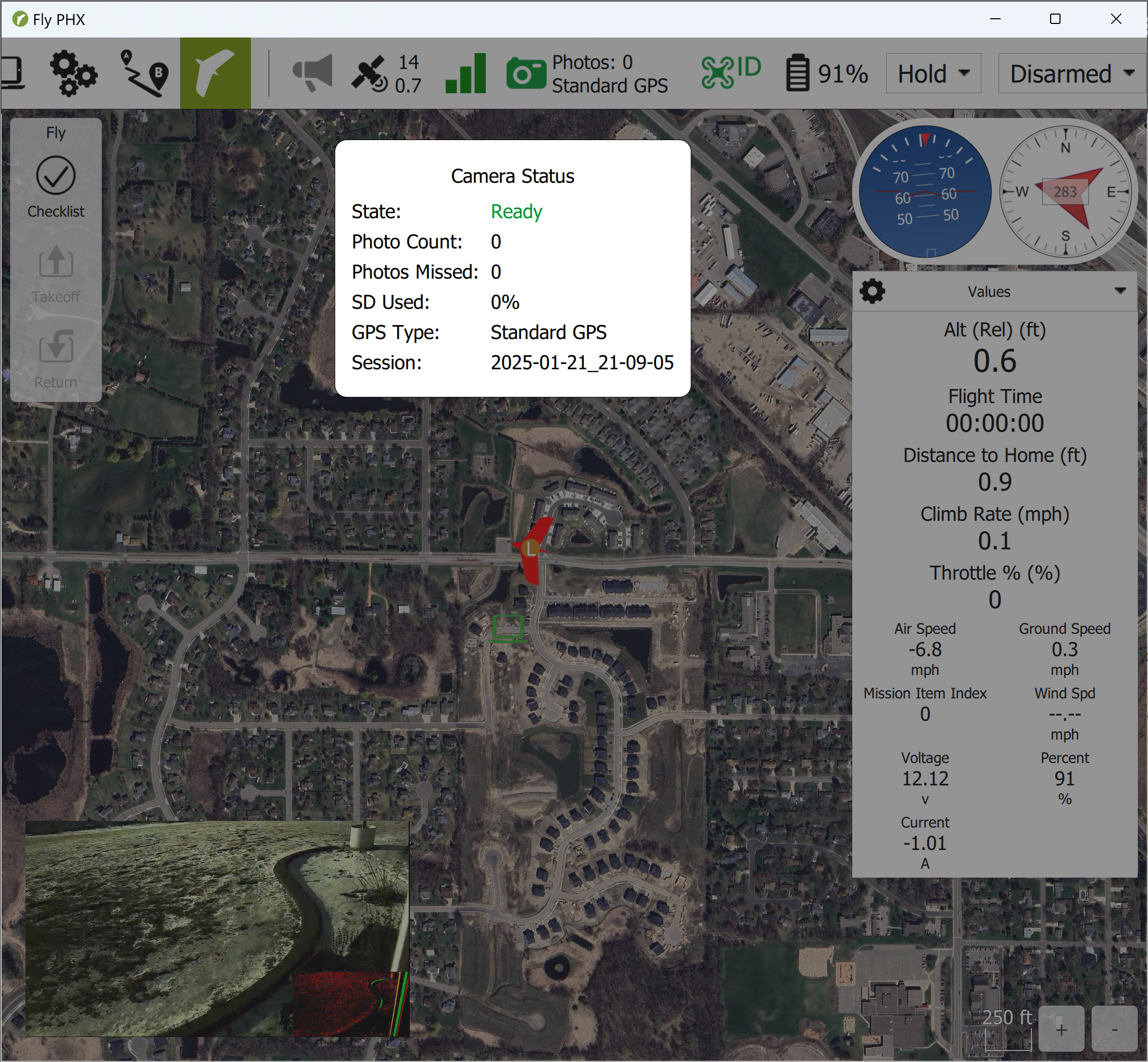
The Fly PHX app simplifies mission planning and flight management for the Sentera PHX. Designed for ease of use by both beginners and experienced operators, Fly PHX offers intuitive tools to ensure smooth, efficient mission execution and reliable data collection. Whether you’re capturing high-resolution imagery or performing multispectral analysis, Fly PHX provides everything you need to plan, manage, and adjust your missions with confidence. Available on iPad and Windows.
Offline Maps
Plan your missions from anywhere, even without an internet connection, using offline map support.
Guided Flight Planning
Streamlined mission planning with built-in camera presets or custom options. Import boundaries using SHP, KML, or directly from FieldAgent.
Real-Time Camera Connection
View imagery and monitor live camera status, including photo count, storage capacity, folder name, and GPS type, all in real-time during the flight.
Fly PHX
Real-Time Camera Feedback
Never wonder if your camera is working again. The following are displayed in real-time in flight.
Camera Status
Photo Count
SD Card Percentage
GPS Status
HD Live Video
Sentera PHX Support
Sentera offers extensive online documentation, videos, U.S.-based customer support, and an online store for spare parts. SenteraCare extended warranties are also available for added peace of mind.
PHX Video Resources
Get everything you need to confidently fly and capture data with the Sentera PHX. Explore our step-by-step video guides and training materials designed to help you master your drone.
Learn how to set up, operate, and maintain your PHX drone with detailed tutorials.
Enhance your skills with in-depth training videos tailored for PHX users.

