Resources

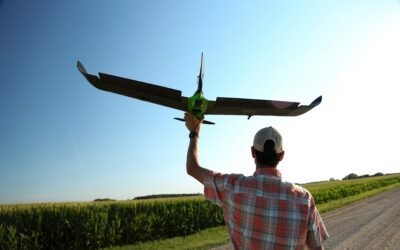
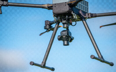
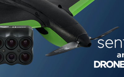
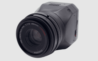
High-Accuracy Mapping Workflows: IF800 Tomcat with Sentera 65R RTK and PPK
Learn how Sentera’s 65R Sensor and RTK PPK Module integrate with the IF800 to achieve centimeter level accuracy for professional mapping workflows.
In this webinar you’ll learn about system integration, mission-planning considerations, and how this setup improves modern mapping and inspection operations.

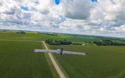
Reading the Runway
How ALDOT Uses the IF800 and Sentera 65R to Bring Airport Pavement Into Focus. Aging pavement is one of the biggest challenges facing small regional airports. Agencies like ALDOT...

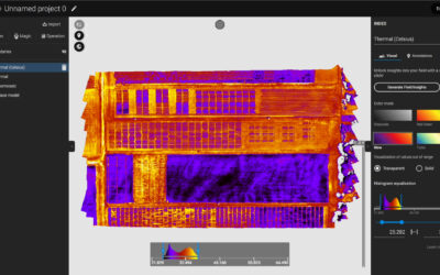
RTK vs PPK: Understanding High-Accuracy GNSS Workflows
RTK and PPK are often discussed together, but they solve accuracy challenges in very different ways. Understanding how each workflow functions helps operators choose the right...
PixelScout™: Precision Imagery That Powers Smarter Spraying
In the rapidly evolving world of precision agriculture, timing, accuracy, and productivity are not optional—they are critical. That’s where...
End of Life Announcement: PHX Fixed Wing, Single Sensor, and Gimbal-mounted Double 4K products
Sentera is officially announcing the upcoming end of life (EOL) of all PHX Aircraft Systems, Single Sensor, and Gimbal-mounted Double 4K products. Key Dates and Details: EOL...
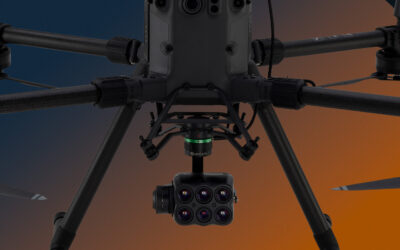
6X Thermal Series: Raw Imagery to Actionable Data
Sentera is proud to announce our collaboration with Teledyne FLIR on our 6X Series Thermal Sensors. The 6X Thermal and 6x Thermal Pro Sensors utilize FLIR BOSON modules for...
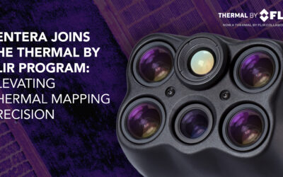
Sentera 6X Thermal Sensors Now Listed in the Thermal by FLIR Program
MINNEAPOLIS, MN – March 25, 2025 – Sentera Sensors & Drones proudly announces that its 6X Thermal and 6X Thermal Pro sensors are now officially listed in the Thermal by FLIR...
From Fields to Skies: Real-World Applications of High-Capture-Rate Sensors
When it comes to aerial surveys, every second in the air matters. Whether mapping farmland, monitoring infrastructure, or assessing environmental changes, the efficiency of a...
From Field to Farm: How Drones and Sensors Drive Smarter Tillage
In modern agriculture, precision is everything. The ability to make informed decisions at the field level can lead to significant savings in time, resources, and effort....
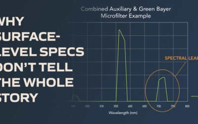
Beyond Appearances: Why You Need to Look Past a Sensor’s Specs
When it comes to multispectral sensors, the first impression is often based on specifications—number of bands, resolution, or even price. But while these specs are important,...
Using Multispectral Data to Enhance Early-Stage Crop Management with the Sentera 6X Multispectral Sensor
Managing crops during their early growth stages requires precision and actionable insights. Our partner, Inspired Flight, recently shared a compelling case study on their blog,...
Unleash the Power of Multispectral, RGB, and Thermal Imagery with the Sentera 6X Thermal and 6X Thermal Pro Sensors
In industries where precision and actionable data are critical, having a sensor that combines multiple imaging capabilities is a game-changer. Sentera Sensors & Drones offers...
From Data to Decisions: Unleashing the Power of Multispectral Imagery
Watch the webinar to explore the cutting-edge world of Sentera sensors and their transformative impact on aerial data collection.
Elevate your understanding of precision agriculture, environmental monitoring, surveying, mapping, and more with this insightful session.
Sentera Announces Strategic Partnership with Heliboss to Expand Distribution in Chile
Through this collaboration, Heliboss will become an authorized reseller of Sentera’s state-of-the-art sensors, further extending Sentera’s reach and enhancing its service offerings in the Chilean market.
Sentera Drone and Sensor Business Segment Moving to New Internet Domain
We are thrilled to announce that the Sentera business segment responsible for our cutting-edge drones and sensors will transition to a new internet domain: senterasensors.com.
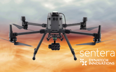
Sentera Announces Strategic Partnership with Dynatech
Sentera is partnering with Dynatech Innovations, a premier technology distributor based in the United Arab Emirates. This collaboration marks a significant milestone in Sentera’s global expansion strategy and aims to bring state-of-the-art sensor technology to a broader market across multiple sectors.
Sentera Announces Partnership with Drone Nerds
Sentera is partnering with Drone Nerds to bring our advanced drone sensors to a wider audience. Our cutting-edge 6X multispectral, 6X Thermal, and 65R sensors are now available through Drone Nerds’ extensive distribution network, providing unparalleled aerial imaging capabilities for agriculture, construction, and more.
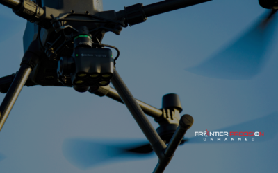
Sentera Announces Partnership with Frontier Precision
Sentera today announced that it has partnered with Inspired Flight to Integrate the 6X and 65R sensors with their drone systems.
Sentera Launches Integration with Inspired Flight
Sentera today announced that it has partnered with Inspired Flight to Integrate the 6X and 65R sensors with their drone systems.
Sentera Sensors Now Compatible with Gremsy Quick Release
Today Sentera announced that its 65R and 6X sensors are compatible with the Gremsy Quick Release. This means that these industry-leading sensors are compatible with more drone systems.
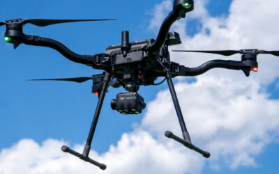
Sentera Launches 65R Integration with Freefly Systems
Sentera today announced that it has expanded its integrations with Freefly Systems to now include its ultra-high-resolution aerial sensor, the 65R.
The Dynamic Duo: The Freefly Astro and Sentera’s 6X Sensor
The Freefly Astro and Sentera’s 6X Sensor are now compatible, so what does that mean for you? Find out in this blog post.
Sentera Expands Mapping Capabilities with New Drone System
Today Sentera is excited to announce an integration between it’s fixed-wing drone, the PHX, and its ultra-high-resolution aerial sensor, the 65R, to capture more precise digital surface models (DSMs) for mapping and surveying applications.
Case Study: The Flexibility of the Double 4K and Mavic 3 Enterprise
Accurate aerial imagery can uncover differences in product performance — the Sentera Double 4K and Mavic 3 Enterprise deliver.

Precision in the Sky with the Freefly Astro + Sentera 6X
Join us for our upcoming webinar to learn how the Freefly Astro and Sentera 6X deliver precision in the sky.
Sentera Extends Compatibility of 6X to Freefly Systems
Sentera is excited to announce that its 6X is now compatible with the Astro from Freefly Systems.
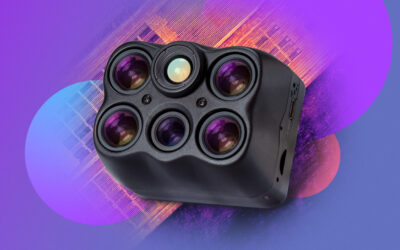
Sentera Launches Ultra-High-Resolution Aerial Imagery Sensor
The industry’s first ultra-high-resolution aerial sensor, purpose-built for seamless drone integration, is here. Learn about how the 65R helps agronomic leaders capture sharper imagery, faster.

Introducing the 65R: Capturing the Sharpest Aerial Imagery
Introducing the 65R Sensor, designed to capture the sharpest aerial imagery to drive productivity and efficiency. Join our webinar to learn the features and benefits of this ultra-high-resolution aerial sensor.

Radiometric Calibration: Eliminating Variability for Plot Trials
Variability in plot trial data can result in erroneous data. Using tools that eliminate variability, like radiometric calibration, can make measurements more precise and accurate.
Sentera’s Spot Scout Technology Awarded Patent
Sentera has received a patent for its Spot Scout Technology, which is at the core of its ag data that it delivers to agronomic leaders, like Stand Count, Tassel Count, and Weed Spray Prescription.