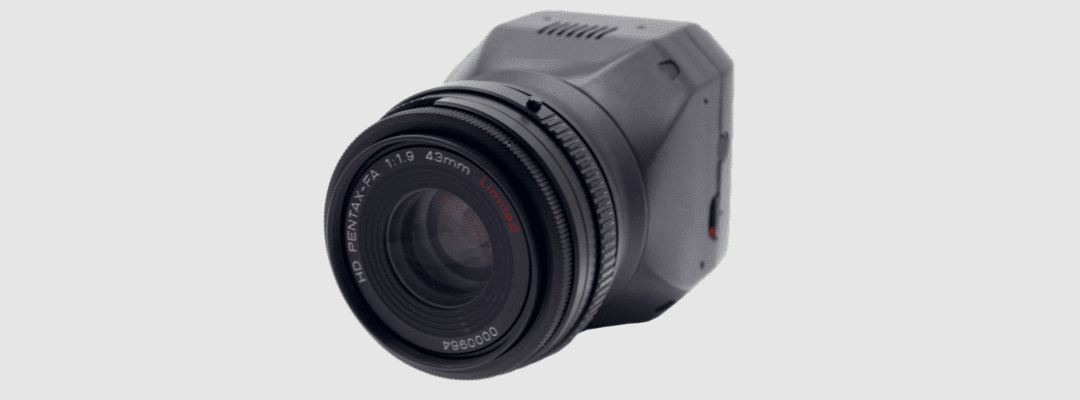
65R Sensor Delivers Sharper Imagery for More Precise Agronomic Analysis
ST. PAUL, Minn. – Nov. 9, 2022 – Sentera, the industry leading ag analytics platform powered by machine learning, today announced the launch of its 65R Sensor, an ultra-high-resolution aerial sensor purpose-built for drone integrations.
“Our customers and internal data scientists are constantly seeking more detailed imagery to grow or improve the agricultural insights they provide,” said Ryan Nelson, chief mechanical engineer, Sentera. “We built the 65R to meet these aggressive technical demands and also deliver a seamless user experience.”
Named for its resolution, the 65R offers unprecedented 65MP resolution for aerial imagery. Key features include:
- A global shutter, the preferred tool for aerial surveying to ensure distortion-free image quality
- High quality optics to maximize image clarity and accuracy
- Low ground sampling distance to 0.45cm/pixel at 200 feet, which enables more detailed maps
- Optimized interfaces for seamless integration into key drone systems, including DJI Skyport & MAVLink connections
With its lightweight design and sustained three-frame-per-second capture rate, the 65R enables agronomic leaders to fly longer and cover more acres faster so they can spend time where it matters most: analyzing the data to fuel critical business decisions.
“For our customers, timeliness matters – and it’s not only for data delivery,” said Nelson. “The advanced endurance and imagery capabilities of the 65R results in faster data capture, making every aerial drone flight more efficient and productive.”
More details about the 65R and the value it provides to researchers and product developers will be shared in Sentera’s webinar on November 29, “Introducing the 65R Sensor: Capturing the Sharpest Aerial Imagery.”
For more information about the 65R Sensor, visit https://www.senterasensors.wpenginepowered.com.
About Sentera
Sentera powers in-season decision makers with the fastest and most reliable agronomic insights to maximize performance outcomes, from research, breeding and seed production to in-field product validation and sales support via its FieldAgent® platform to analyze comprehensive digital insights from numerous data providers, including aerial imagery that can be captured by Sentera’s drone technology solutions or services. Operating in more than 45 countries, Sentera works with hundreds of customers to monitor more than 42 million acres in real time. For more information, visit https://www.senterasensors.wpenginepowered.com.

