When it comes to aerial surveys, every second in the air matters. Whether mapping farmland, monitoring infrastructure, or assessing environmental changes, the efficiency of a drone mission can make or break the quality of the data collected. That’s why capture rate—the speed at which a sensor can take consecutive images—plays a critical role in mission success.
Traditionally, multispectral and thermal sensors have been limited by slow capture rates, often forcing drone operators to choose between reducing flight speed or risking gaps in their data. But what if capture rate wasn’t a limiting factor?
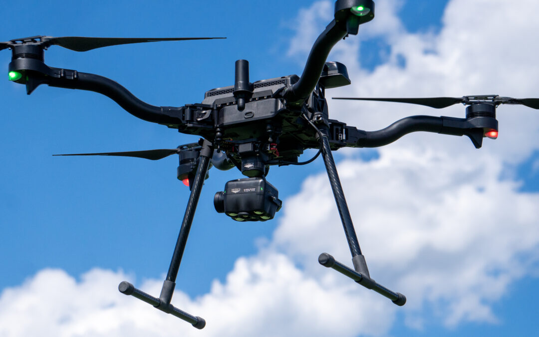
With the Sentera 6X Sensor Series, operators can fly as fast as their drone allows, maximizing coverage without sacrificing image quality. Here’s how that advantage plays out in real-world applications:
Agriculture & Crop Scouting: Capturing the Full Picture
In precision agriculture, growers and agronomists rely on high-resolution multispectral imagery to monitor crop health, identify stress, and optimize yields. Slow-capture-rate sensors can lead to gaps in data—especially in large fields—forcing operators to fly slower or rerun missions.
The 6X Multispectral sensor, with its ability to capture up to five frames per second, enables high-speed flights with full field coverage, reducing flight times while delivering crisp, high-resolution data for advanced analytics.
Environmental Monitoring: Covering More Ground, Faster
Wildlife conservationists, land management professionals, and researchers use drone-based remote sensing to track environmental changes over time. From monitoring deforestation to assessing coastal erosion, the ability to quickly collect and analyze data is key to making informed decisions.
With the 6X Thermal and 6X Thermal Pro, operators can efficiently map large areas without having to slow down or worry about gaps in their thermal imagery. The increased capture rate ensures seamless coverage, even when mapping dynamic landscapes where conditions change rapidly.
Infrastructure Inspection: No More Trade-offs
Surveying power lines, roads, or construction sites requires detailed, high-resolution imagery captured at speed. Traditional sensors with lower capture rates force operators to either fly slow (wasting valuable time) or risk missing critical details.
The 6X Series eliminates this trade-off. With high capture rates and synchronized multispectral, RGB, and thermal imaging capabilities, operators can fly at practical speeds while still collecting the detail needed for analysis—without having to rerun a mission.
Why This Matters
When designing the 6X Sensor Series, we set out to eliminate capture rate as a barrier to coverage. By increasing the capture rate, we’ve given operators the ability to fly at optimal speeds without compromising data quality. The result? More acreage covered per flight, faster mission times, and high-precision imagery that drives better decision-making.
Interested in learning more? Download our latest white paper, “Why Capture Rate Matters,” to see how the 6X Series is redefining what’s possible in drone-based imaging.