

What is the Double 4K?
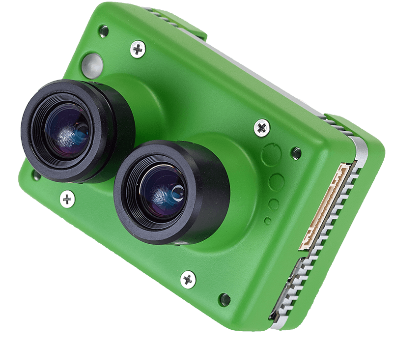
The Sentera Double 4K Sensor is the most versatile sensor for crop performance analytics, capturing aerial imagery that can be turned into orthomosaics and detailed analytics.
Four Variations to Meet Every Use Case
The Double 4K is available in four variations to deliver the imagery required:
- Ag+: RGB + NDVI Multispectral Imagery
- Analytics: Zoom RGB + NDVI Multispectral Imagery
- Multispectral: 5-band Multispectral Mapping
- NDVI/NDRE: NDVI + NDRE


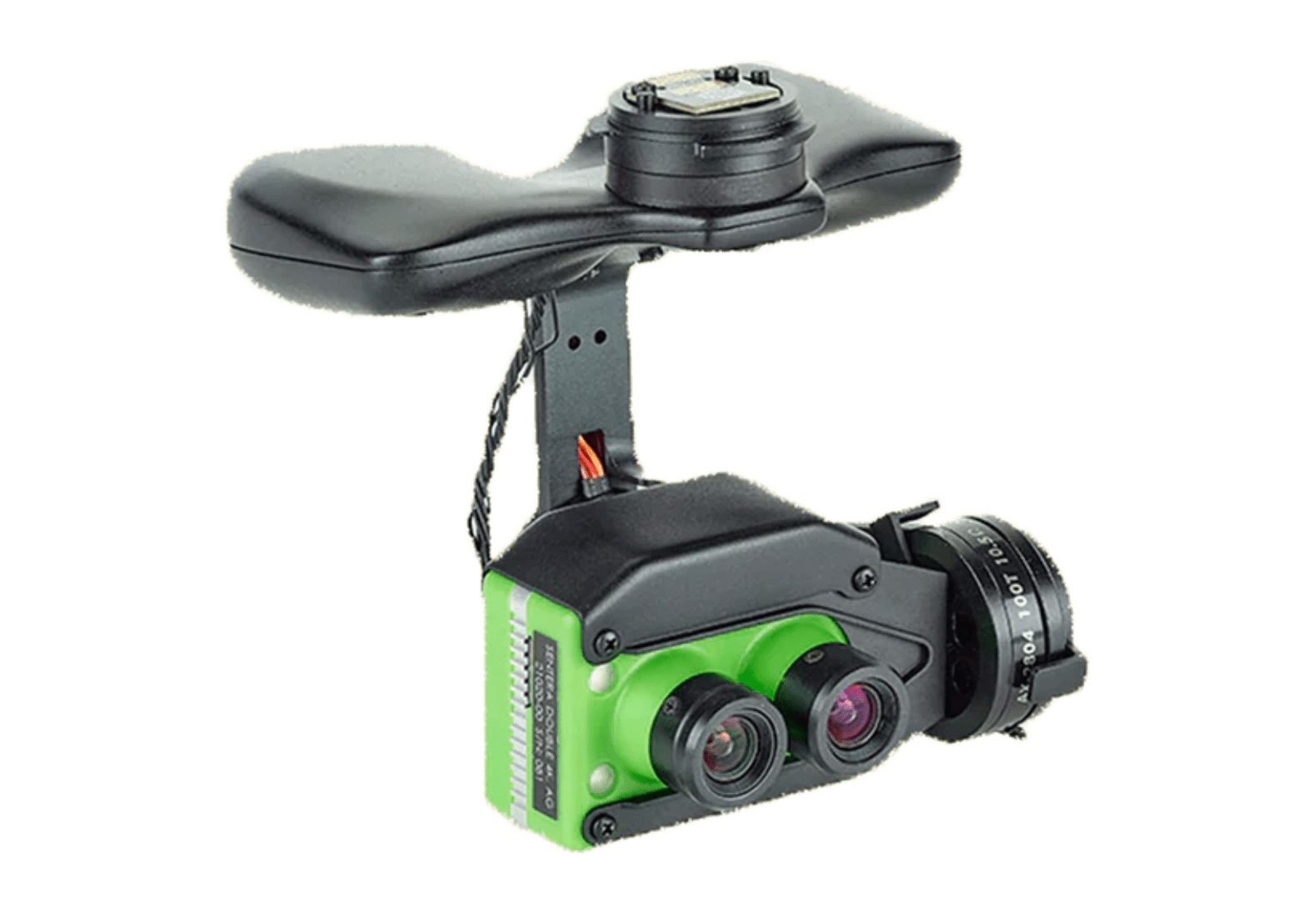
Full-gimbaled Range of Motion
Choose a gimbaled option for full data vertical capture. With Sentera’s Lock-and-Go technology, easily swap sensors.
HEAR FROM OUR CUSTOMERS
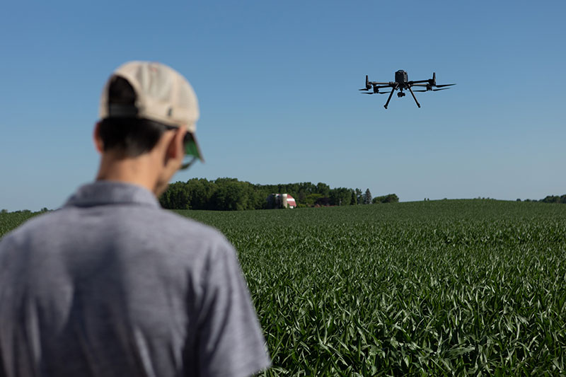
The Flexibility of the Double 4K and Mavic 3 Enterprise
“Usually, we only get a glimpse into yield during harvest from the combine,” said Leon. “Thanks to the eye-in-the-sky with the Mavic 3 Enterprise and multispectral imagery from Sentera’s Double 4K, we could start to get an understanding on yield before the combine ever hit the field.”

CHRIS LEON
Regional Technical Services Manager
FMC

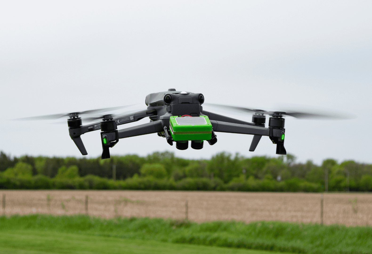
Mavic 3 Enterprise + Double 4K: A Complete Aerial Sensing Solution
Unlock advanced aerial analytics with the Sentera Mavic 3 Enterprise + Double 4K solution, delivering simultaneous high-resolution RGB, NDVI, and NDRE data in a single flight. Purpose-built for agriculture, environmental monitoring, and land management, this integrated system provides detailed plant health assessments, stress detection, and ecosystem analysis. With its lightweight 80g sensor, extended flight endurance, and high-precision data capture, this ready-to-deploy solution ensures fast, efficient, and reliable insights—right out of the box.
Key Specs for the Double 4K
Sony Exmor R IMX377
- HFOV: 60*
- GSD at 60m: 1.8cm
- GSD at 120m: 3.5cm
- HFOV: 14*
- GSD at 60m: 0.38cm
- GSD at 120m: 0.75cm
4K Ultra HD video at 30fps
1080p/720p Video
H.264 Encoding
Web-based camera configuration
- PIXHAWK autopilot
- MAVLink-based systems
- Customized ICD options available
DJI Matrice
DJI Mavic
DJI Phantom
Sentera PHX
Cited in Research
Use of UAV Images to Assess Narrow Brown Leaf Spot Severity in Rice
Machine Learning for Soil Moisture Prediction Using Hyperspectral and Multispectral Data
Bioenergy Elephant Grass Genotype Selection Leveraged by Spatial Modeling…
Comparison of Semantic Segmentation Deep Learning Models for Land Use Mapping: Site Characterization for Construction Site Preparation
Making the Cotton Replant Decision: A Novel and Simplistic Method to Estimate Cotton Plant Population from UAS-calculated NDVI
Multispectral Analysis of Small Plots Based on Field and Remote Sensing Surveys—A Comparative Evaluation
Evaluation of Land Roughness and Weather Effects on Paddy Field Using Cameras Mounted on Drone:
Unlock New Insights with Sentera Sensors
Reach out today to explore how our cutting-edge sensors and drones can revolutionize your operations.

