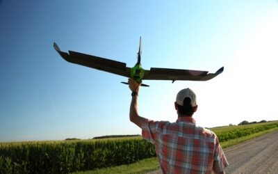
Build Your Custom Solution
More than 100 years of sensor design experience.
We’ve fielded sensor systems to withstand the most demanding military environments and provide difficult-to-obtain data products and now focus on building custom precision sensor solutions for agribusiness and crop production.

CUSTOMER CAMERA EXAMPLE
9 Band, Sentinel 2B Replica
This customer contacted us as they wanted to create a remote sensing system that could collect photographs from a drone that would accurately replicate nine spectral bands present on the Sentinel 2B satellite.
The final solution leveraged our Sentera Single Sensor hardware for the VIS-NIR bands, along with a precisely filtered SWIR camera core. The final sensor package was then integrated one a three-axis gimbal and attached to a DJI M600 enterprise drone.
CUSTOMER CAMERA EXAMPLE
5MP Quad Sensor
This customer contacted us with aggressive remote sensing demands. Specifically, they required a four-band multispectral camera capable of capturing all bands at a 5 Hz synchronized capture rate. The sensor needed to be global shutter, 5MP resolution minimum, with a ground sample distance (GSD) of less than 1cm at 200’ altitude, while meeting size, weight and environmental constraints.
We provided a custom sensor solution that leveraged many of the architectural and design elements present in our 6X Multispectral sensor. The sensor met all requirements: Sporting four 2/3”IMX265 monochrome global shutter sensors, a Xilinx Zynq FPGA, a 500GB solid state drive, and high-quality optics and filters. This sensor has been flown on DJI M300 and M600 systems.

Discover how Sentera can help you make critical decisions
Stay in the Know
End of Life Announcement: PHX Fixed Wing, Single Sensor, and Gimbal-mounted Double 4K products
Sentera is officially announcing the upcoming end of life (EOL) of all PHX Aircraft Systems, Single Sensor, and Gimbal-mounted Double 4K products. Key Dates and Details: EOL Effective Date: October 1, 2025 Support Period: Sentera will continue to provide support,...
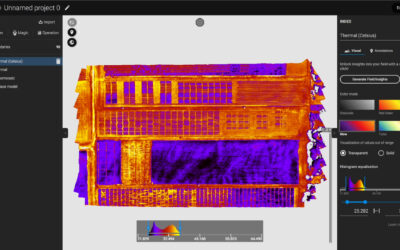
6X Thermal Series: Raw Imagery to Actionable Data
Sentera is proud to announce our collaboration with Teledyne FLIR on our 6X Series Thermal Sensors. The 6X Thermal and 6x Thermal Pro Sensors utilize FLIR BOSON modules for precise pixel level thermal data. Combined with the 6X Series Rig Processing capabilities, it...
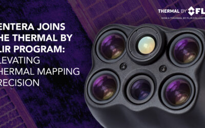
Sentera 6X Thermal Sensors Now Listed in the Thermal by FLIR Program
MINNEAPOLIS, MN – March 25, 2025 – Sentera Sensors & Drones proudly announces that its 6X Thermal and 6X Thermal Pro sensors are now officially listed in the Thermal by FLIR program, reinforcing their status as the premier solution for high-precision thermal...
Unlock New Insights with Sentera Sensors
Reach out today to explore how our cutting-edge sensors and drones can revolutionize your operations.