

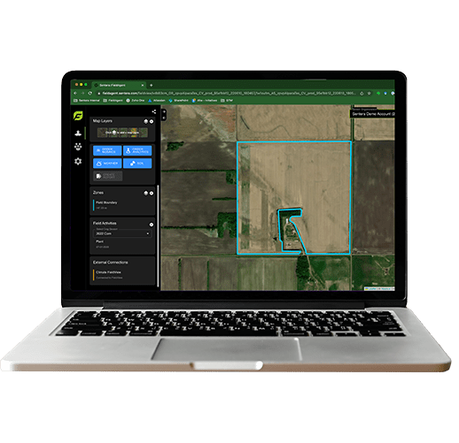
Sentera 6X
Achieve New Heights in Precision with Our Powerful Toolkit for Every Industry’s Needs
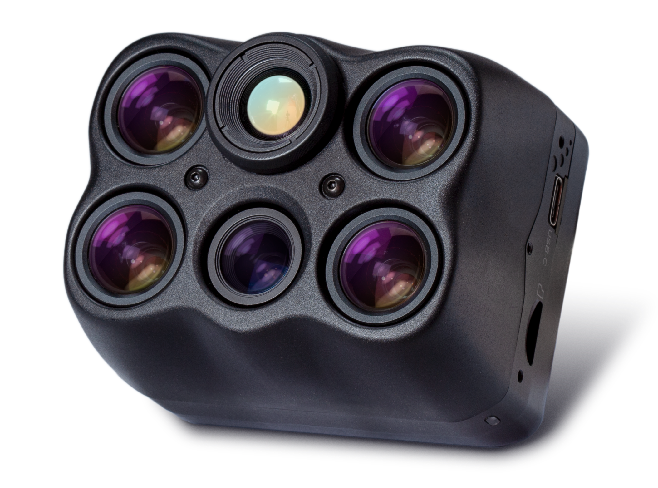
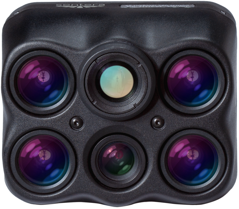
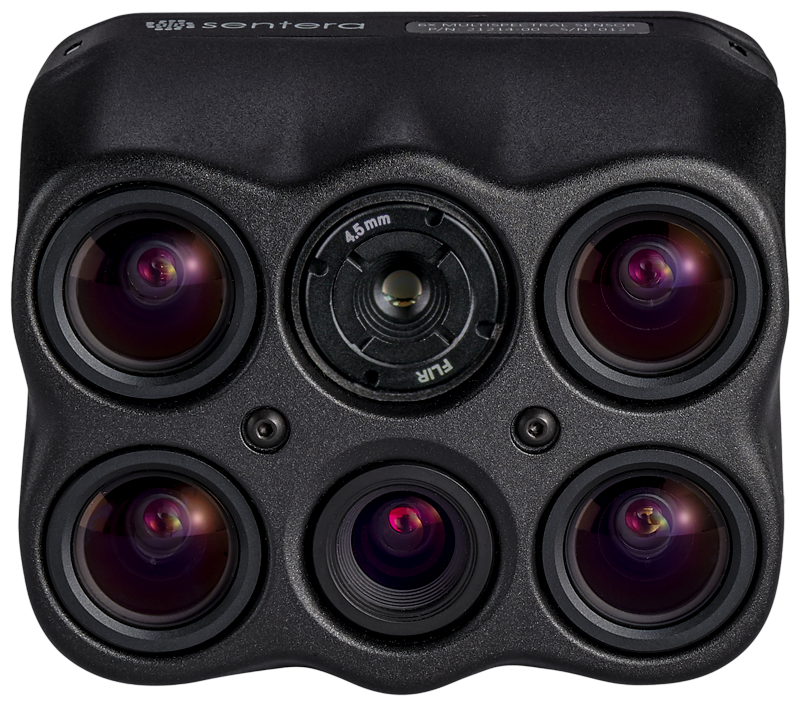
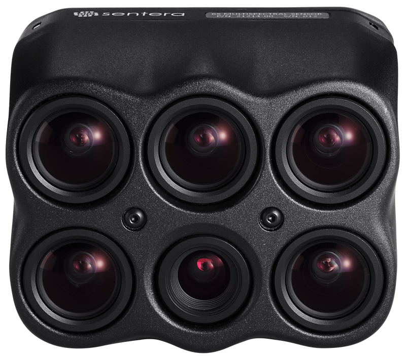
Featuring six imagers including multispectral, RGB, and thermal bands, the Sentera 6X series offers lightweight, compact, drone-based sensors designed to capture high-precision data, providing unparalleled accuracy and flexibility for a wide range of applications, from agriculture to public safety.
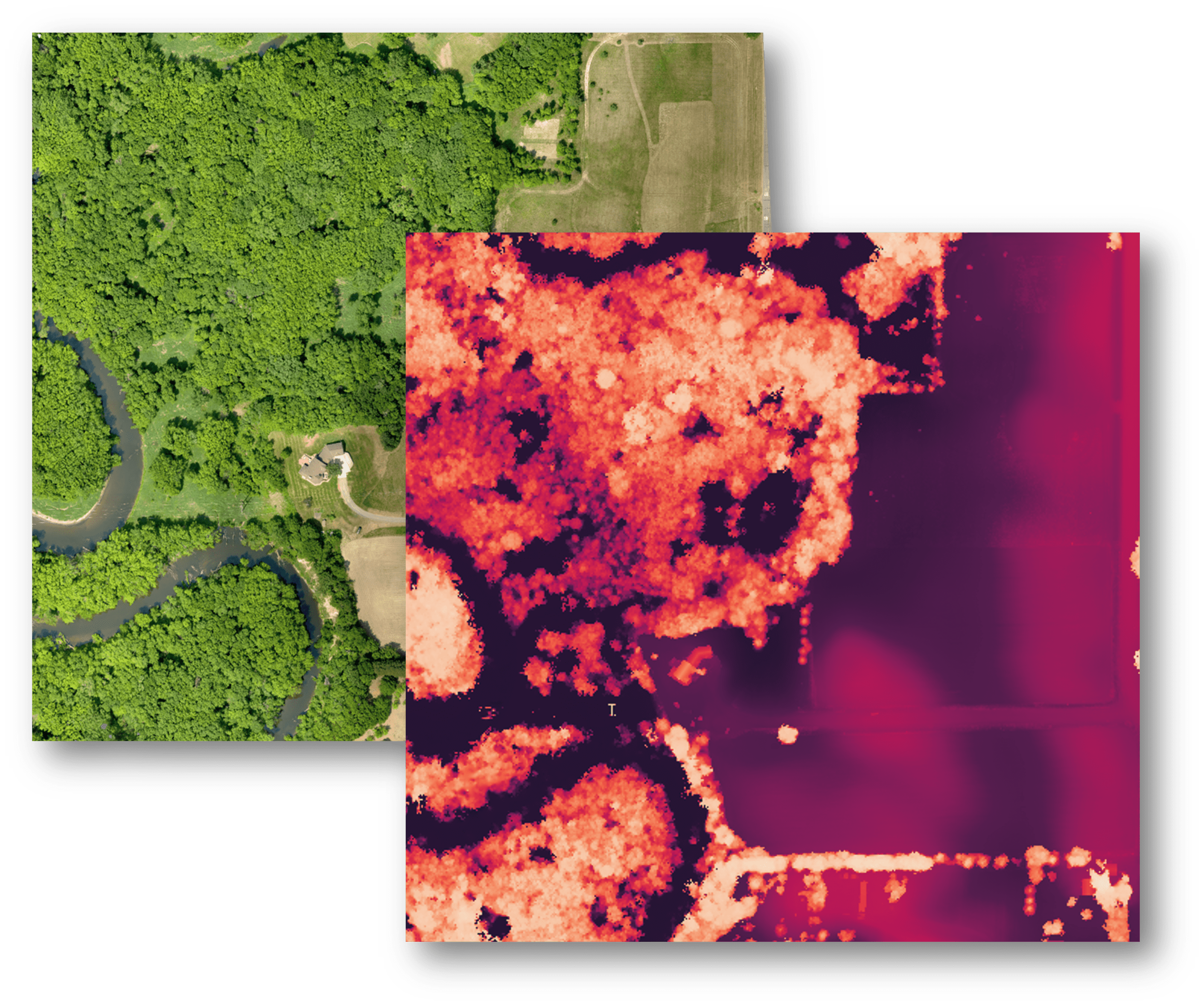
The 6X Series Sensors Stand Out as the Most Well-Equipped and Capable in Their Class
- 512GB internal SSD storage
- Gimballed
- High capture rate
- Ultra-lightweight
- Image synchronization & alignment (co-registration)
- Outstanding Value
- Standard data outputs compatible with many software platforms
More Advanced Imagery with Radiometric Accuracy
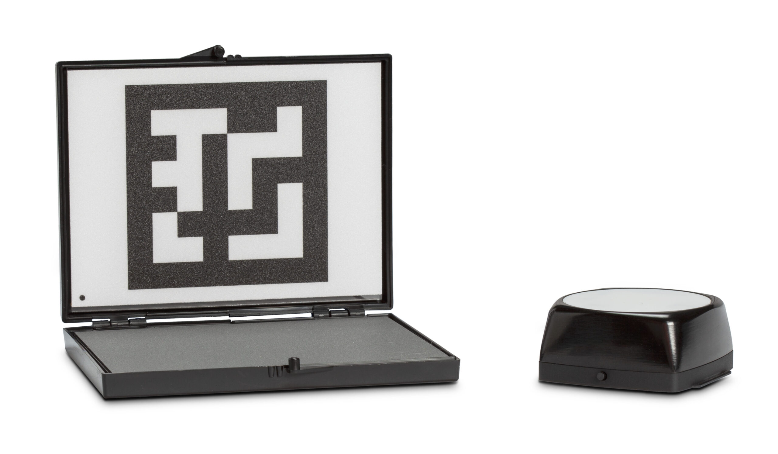
The 6X Sensor Series includes Sentera’s Calibrated Reflectance Panel and Incident Light Sensor, ensuring superior imagery with radiometric accuracy by accounting for lighting variations.
Unsure which 6X Sensor fits your needs?
Download the 6X Series Comparison Sheet or explore the specifications for each variant below
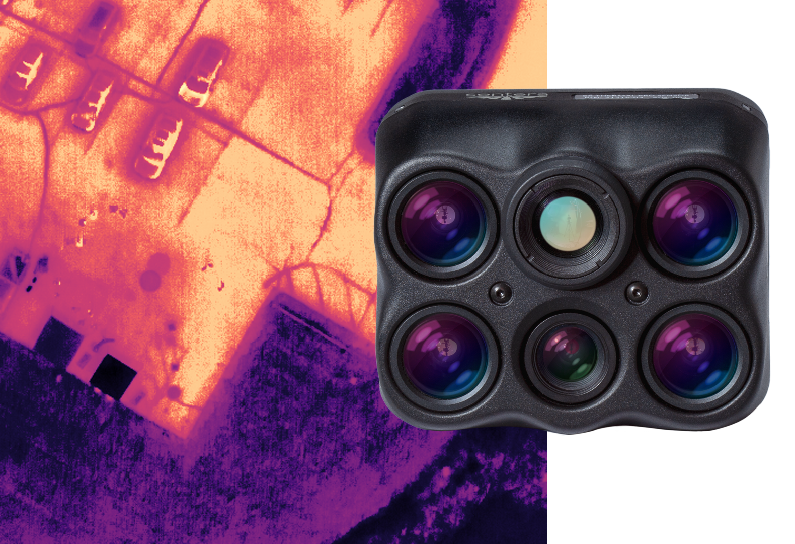

Sentera 6X Thermal Pro Sensor
Synchronized multispectral, high-resolution RGB, and advanced thermal data in a single flight
Ideal for research, land management, and infrastructure inspections, it empowers professionals to make informed decisions with precise, detailed data.
- Four 3.2MP global shutter multispectral imagers, one 20MP RGB imager, and one FLIR Boson 640 radiometric thermal imager all in one sensor
- Four times the thermal resolution of the 6X Thermal

Plant Evaporation Study
Water Management
Plant Disease Detection
Survey
Inspection
Hi-res RGB +
Hi-res Thermal LWIR
- HFOV: 47°
- GSD at 60m (200ft): 1.0in (2.6cm)
- GSD at 120m (400ft): 2.0in (5.2cm)
- HFOV: 47°
- GSD at 60m (200ft): 0.4in (1.0cm)
- GSD at 120m (400ft): 0.8in (2.0cm)
- HFOV: 50°
- Thermal Accuracy: +/- 5 °C
- Thermal Sensitivity: 50mK
- GSD at 60m (200ft): 3.4in (8.75cm)
- GSD at 120m (400ft): LWIR - 6.9in (17.5cm)
- Green: 550nm CWL x 20nm*
- Red: 670nm CWL x 30nm*
- Red Edge: 715nm CWL x 10nm*
- NIR: 840nm CWL x 20nm*
- RGB: IR cut 650nm
- Thermal Infrared: Radiometric: 8um to 14um
(79.5mm x 66mm x 67.5mm)
- Skyport: 505g
- Smart Dovetail: 525g
- Gremsy Hyper Quick: 500g
12-bit TIFF (MSP)
16-bit TIFF (Thermal)
- USB-C 3.0
- Gigabit Ethernet
- PPS
- Serial
- Discrete I/O
DJI Matrice Series
Freefly Astro
Inspired Flight IF800
Inspired Flight IF1200
Blue UAS Eligible
*With appropriate post-processing.
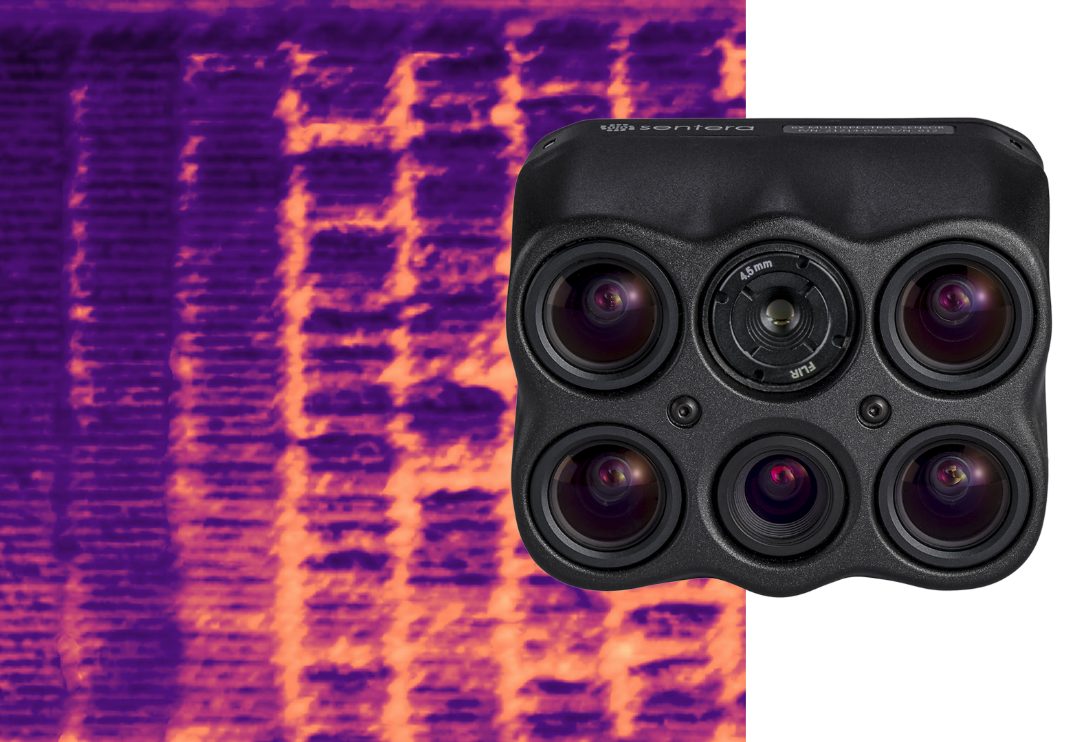

Sentera 6X Thermal Sensor
Synchronized thermal, multispectral, and high-resolution RGB imagery in one flight
Ideal for advanced analytics, it supports seamless data integration into common software platforms for informed decision-making.
- Four 3.2MP global shutter multispectral imagers, one 20MP RGB imager, and one FLIR Boson 320 radiometric thermal imager to deliver thermal accuracy of ±5 °C and accurate thermal maps at a GSD of 17.5cm (6.9″) from 60m (200ft) flight altitude.

Irrigation Management
Plant Disease Detection
Water Management
Inspection
Survey
Hi-res RGB +
Thermal LWIR
- HFOV: 47°
- GSD at 60m (200ft): 1.0in (2.6cm)
- GSD at 120m (400ft): 2.0in (5.2cm)
- HFOV: 47°
- GSD at 60m (200ft): 0.4in (1.0cm)
- GSD at 120m (400ft): 0.8in (2.0cm)
- HFOV: 50°
- Thermal Accuracy: +/- 5C
- Thermal Sensitivity: 50mK
- GSD at 60m (200ft): 6.9in (17.5cm)
- GSD at 120m (400ft): LWIR - 13.8in (35.0cm)
- Green: 550nm CWL x 20nm*
- Red: 670nm CWL x 30nm*
- Red Edge: 715nm CWL x 10nm*
- NIR: 840nm CWL x 20nm*
- RGB: IR cut 650nm
- Thermal Infrared: Radiometric: 8um to 14um
(79.5mm x 66mm x 67.5mm)
- Skyport: 495g
- Smart Dovetail: 515g
- Gremsy Hyper Quick: 490g
12-bit TIFF (MSP)
16-bit TIFF (Thermal)
- USB-C 3.0
- Gigabit Ethernet
- PPS
- Serial
- Discrete I/O
DJI Matrice Series
Freefly Astro
Inspired Flight IF800
Inspired Flight IF1200
Blue UAS Eligible
*With appropriate post-processing.
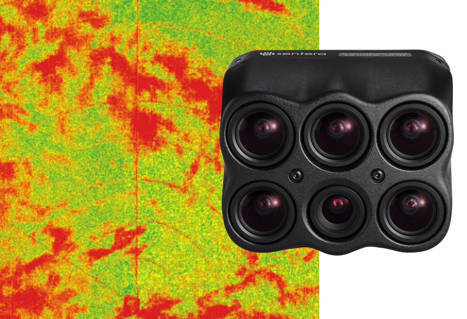

Sentera 6X Multispectral Sensor
High-res RGB and accurate radiometric multispectral imagery
Ideal for season-long vegetation analysis utilizing science-grade, accurate radiometric multispectral imagery and high-resolution RGB.
- Five 3.2MP global shutter multispectral imagers and one 20MP RGB imager all in one sensor
Plant Disease Detection
Plant Phenotyping
Orthomosaic
Survey
Hi-res RGB
- HFOV: 47°
- GSD at 60m (200ft): 1.0in (2.6cm)
- GSD at 120m (400ft): 2.0in (5.2cm)
- HFOV: 47°
- GSD at 60m (200ft): 0.4in (1.0cm)
- GSD at 120m (400ft): 0.8in (2.0cm)
- Blue: 475nm CWL x 30nm*
- Green: 550nm CWL x 20nm*
- Red: 670nm CWL x 30nm*
- Red Edge: 715nm CWL x 10nm*
- NIR: 840nm CWL x 20nm*
- RGB: IR cut 650nm
(79.5mm x 66mm x 67.5mm)
- Skyport: 495g
- Smart Dovetail: 515g
- Gremsy Hyper Quick: 490g
12-bit TIFF (MSP)
3.5um (MSP)
- USB-C 3.0
- Gigabit Ethernet
- PPS
- Serial
- Discrete I/O
DJI Matrice Series
Freefly Astro
Inspired Flight IF800
Inspired Flight IF1200
Blue UAS
Blue UAS
*With appropriate post-processing.
Need a quick overview?
Download the 6X Series Sensor Comparison Sheet below
Compatible with Industry-leading Gimbal Options
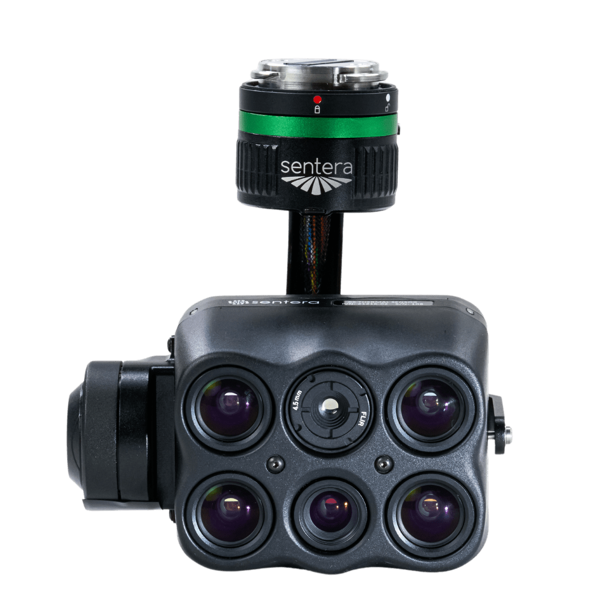
DJI Skyport

Gremsy
Hyper Quick
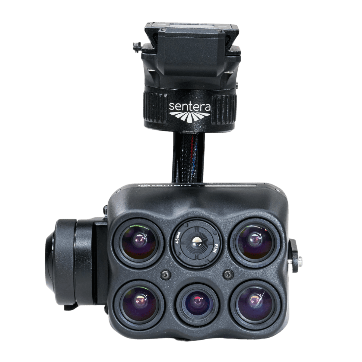
Smart Dovetail
Note: The 6X Series Sensors are compatible with all three gimbal options.
Download sample datasets for the 6X Sensor Series

CORN FIELD
Flight Specifications:
- Aircraft: IF800
- GSD:
1.0in / 2.6cm – MSP
0.4in / 1.0cm – RGB
3.4in / 8.75cm – LWIR - Altitude: 200ft / 60m
- Overlap: 75%
- RTK: No
RESEARCH PLOTS
Flight Specifications:
- Aircraft: Freefly Astro
- GSD:
1.0in / 2.6cm – MSP
0.4in / 1.0cm – RGB
3.4in / 8.75cm – LWIR - Altitude: 200ft / 60m
- Overlap: 75%
- RTK: No

RESEARCH PLOTS
Flight Specifications:
- Aircraft: M300
- GSD:
2.0 in / 5.2cm – MSP
0.8in / 2.0cm – RGB
13.8in/35.0cm – LWIR - Altitude: 400ft/120m
- Overlap: 75%
- RTK: No
INDUSTRIAL
Flight Specifications:
- Aircraft: Freefly Astro
- GSD:
1.0in / 2.6cm – MSP
0.4in / 1.0cm – RGB
6.9in / 17.5cm – LWIR - Altitude: 200ft / 60m
- Overlap: 75%
- RTK: No

CORN FIELD
Flight Specifications:
- Aircraft: Freefly Astro
- GSD:
2.0 in / 5.2cm – MSP
0.8in / 2.0cm – RGB - Altitude: 400ft / 120m
- Overlap: 70%
- RTK: No
RESEARCH PLOTS
Flight Specifications:
- Aircraft: DJI M300
- GSD:
0.62in / 1.58cm – MSP
0.24in / 0.61cm – RGB - Altitude: 120ft / 36.5m
- Overlap: 75%
- RTK: No
Unlock New Insights with Sentera Sensors
Reach out today to explore how our cutting-edge sensors and drones can revolutionize your operations.

