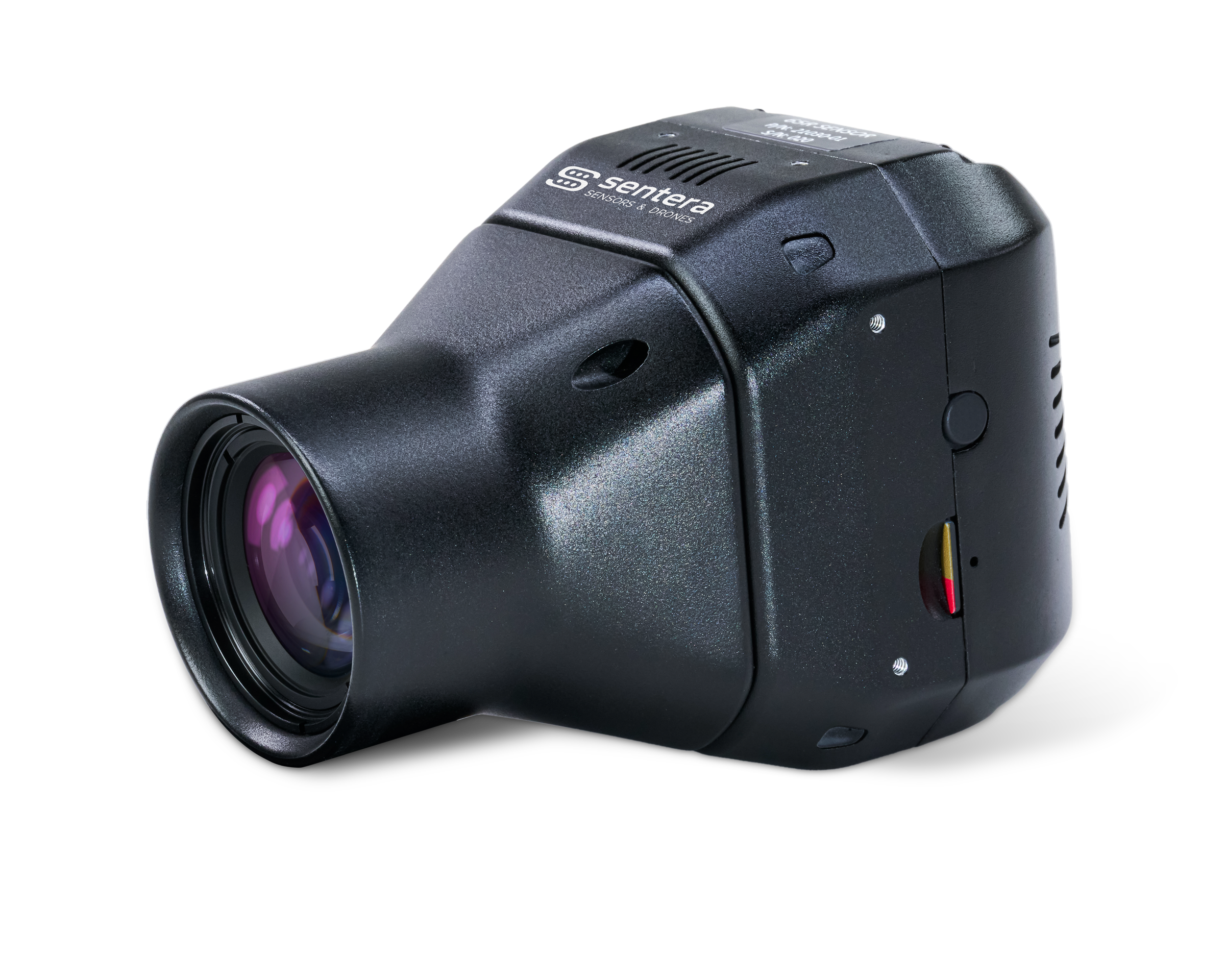


What is the 65R Sensor?
The Sentera 65R is the first ultra-high-resolution precision sensor built from the ground up for seamless integration with drone systems, including RTK systems.
More Pixels Per Image, Captured Faster
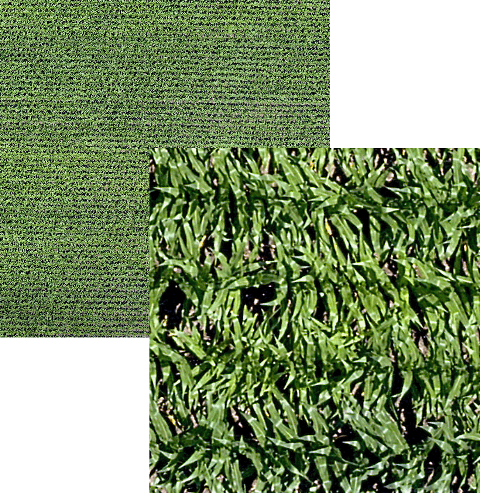
With a resolution of 9344 x 7000 pixels and a ground sampling distance of 0.45cm/pixel, the 65R Sensor improves efficiency and reduces errors by capturing more pixels per image, meaning you can capture more ground significantly faster than any other camera on the market.
Exceptional Color Quality
Large sensor size and high-quality lens system capture rich details and accurate colors, ensuring controlled color quality without creative or artistic modes.
High Accuracy
Equipped with 65 million pixels of global shutter image capture, integrated pulse-per-second synchronization, a 58-degree HFOV, and time-of-capture geo-tagging, the 65R ensures high-accuracy data right out of the box.
Curious about how the Sentera 65R sensor enables precision weed detection?
See how researchers at North Dakota State University used the Sentera 65R sensor to map weeds in sugar beet fields with pinpoint precision. Discover how high-resolution imagery enabled targeted tillage, reducing fuel use, preserving soil health, and improving operational efficiency.
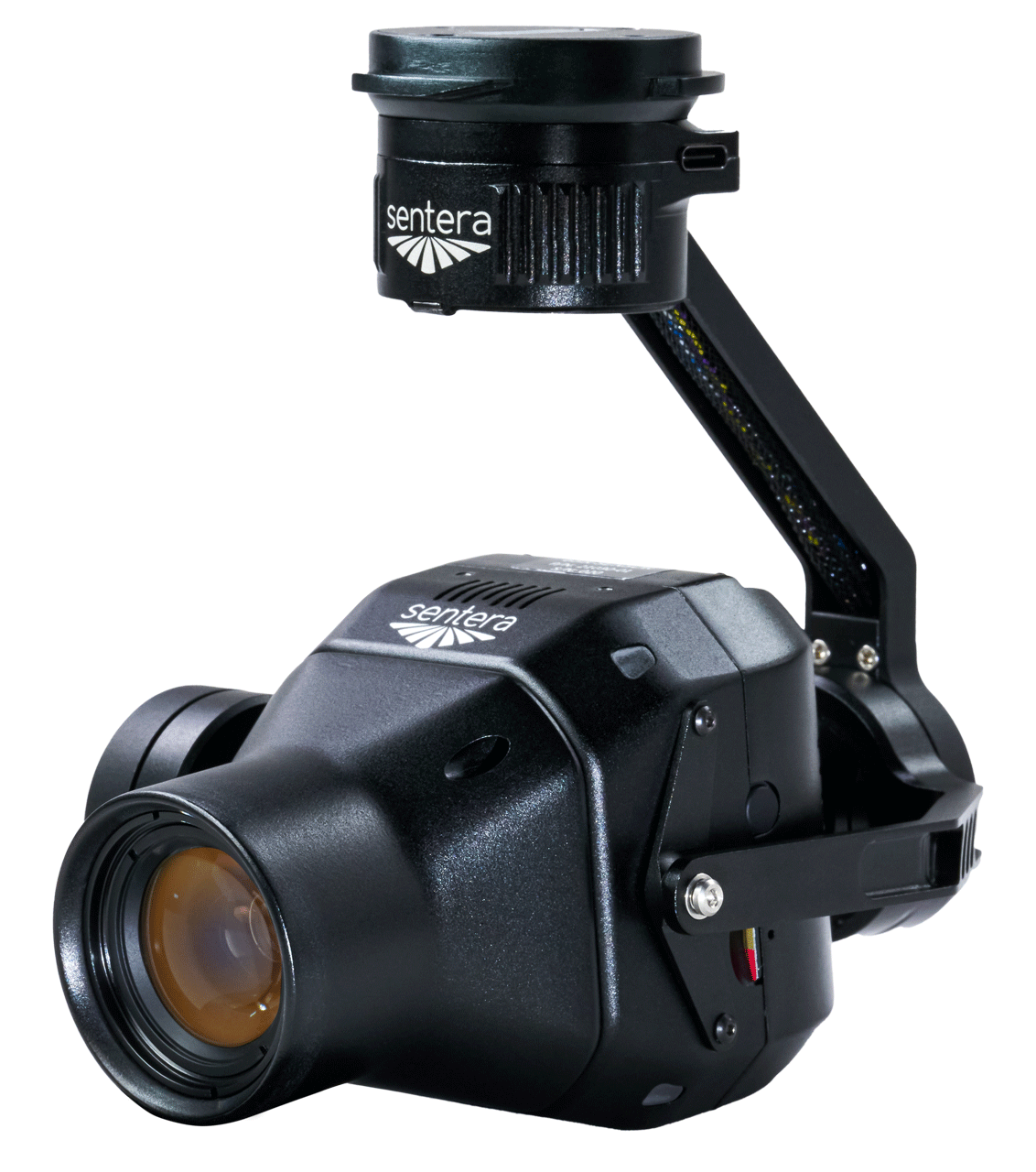
Compatible with Industry-leading Gimbal Options
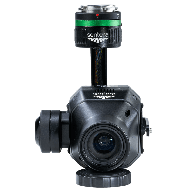
DJI Skyport
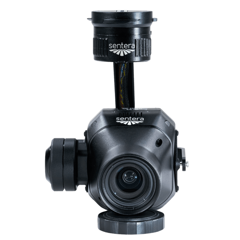
Gremsy Quick Release
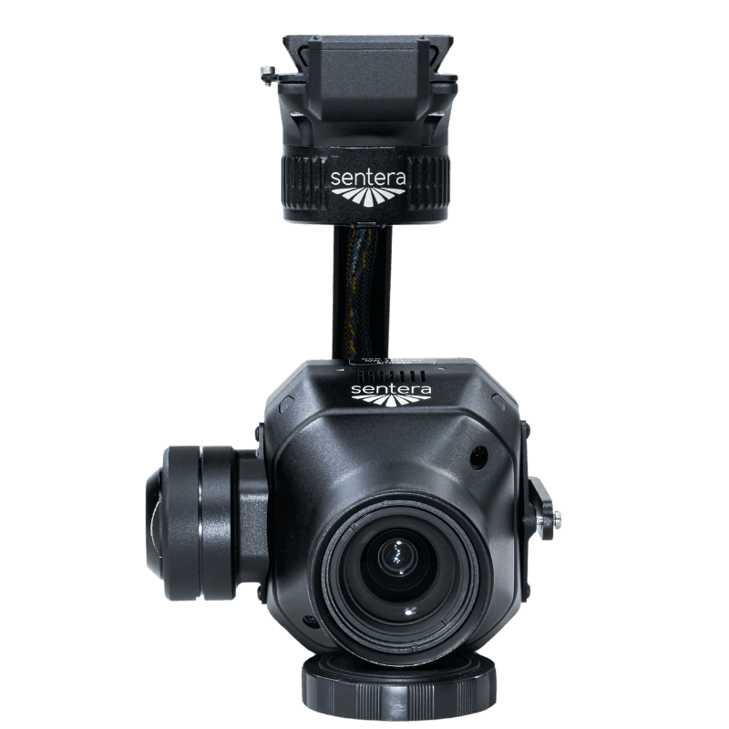
Smart Dovetail
Purpose-built for seamless Drone integration
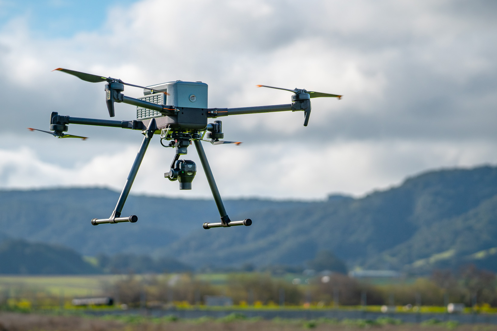
Our engineers and technical team built the 65R with one thing in mind: easy integration with drones, that is why it offers 65-megapixel global shutter so it can be integrated either as a stand-alone sensor or with a stabilizing gimbal, offering plug-and-play compatibility with popular drone platforms, making it ideal for surveying, mapping, and analytics.
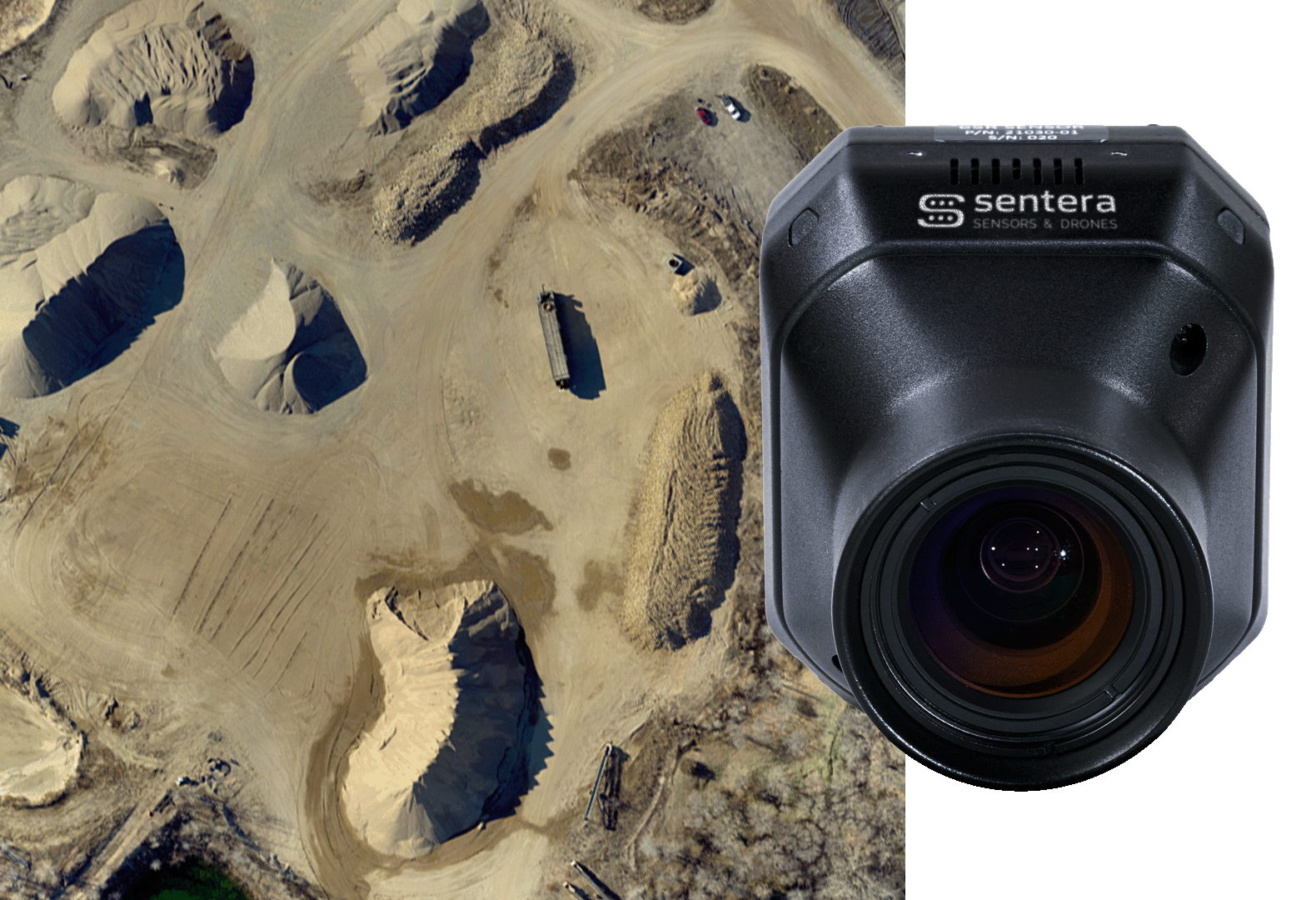

Sentera 65R Sensor
Cutting-Edge Imaging for Mapping and Modeling
Ideal for large-scale surveying and monitoring, the Sentera 65R sensor reduces flight time while maintaining superior image quality, optimizing mission efficiency.
- 65MP global shutter sensor eliminates motion blur for clear, sharp image
- Fast capture rate enhances productivity, minimizing flight time per project
Surveying
Mapping
Plant Counting
Crop Health
3D Construction
Resolution: 9344 x 7000
- HFOV: 57.6* x 44.8*
- GSD @ 38m (125 ft): 0.45cm
- GSD @ 120m (200 ft): 1.43cm
- Focal Length: 27mm
(63.5mm x 70.6mm x 106.4mm)
- Skyport: 580g
- Smart Dovetail: 588g
- Gremsy Hyper Quick: 564g
- USB-C
- Gigabit Ethernet
- UART
- Digital I/O
Input Pulse/PWM for Image Capture
Input Pulse Per Second (PPS) for Time/Position - Sync
Output Pulse for Image Exposure Sync
- Integrated IMU
- Pushbutton Trigger Option
- DJI Matrice Series
- Freefly Astro
- Inspired Flight IF800
- Inspired Flight IF1200
- Sentera PHX
Blue UAS Eligible
*With appropriate post-processing.
Use Case Highlight
Precise Weed Detection and Geolocation
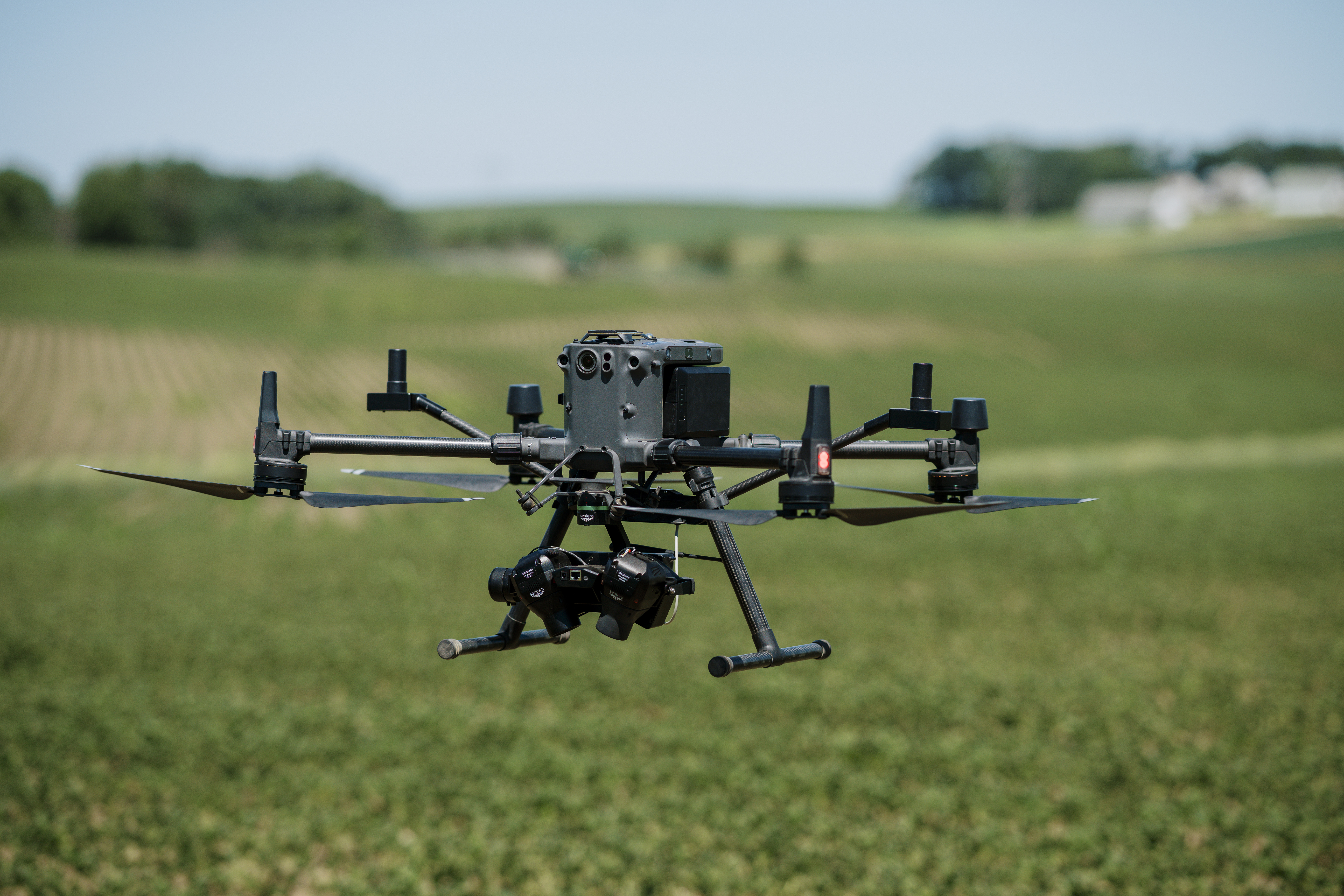
Featuring the power of two 65R payloads integrated with the advanced inertial, location, and terrain measurement capabilities of Sentera’s Direct Georeferencing System (DGR), Sentera engineers have developed a groundbreaking sensing solution to support Sentera’s internal Aerial WeedScout (AWS) program, which aims to reduce chemical usage in weed control through near real-time weed detection and geolocation.
The resulting payload captures 130MP snapshots up to 3 times per second, detecting and directly mapping weeds at an unprecedented rate. This innovative solution underscores our commitment to delivering actionable insights that drive success in the field.
Download sample datasets for the 65R Sensor
Baseball Field
BASEBALL FIELD -200FT
Flight Specifications:
- Aircraft: Freefly Astro
- GSD:
0.28in / 0.72cm - Altitude: 200ft / 60m
- Overlap: 80%
- RTK: No
BASEBALL FIELD – 400FT
Flight Specifications:
- Aircraft: IF1200
- GSD:
0.57in / 1.44cm - Altitude: 400ft / 120m
- Overlap: 80%
- RTK: No
Corn Fields
CORN FIELD – 200FT
Flight Specifications:
- Aircraft: IF800
- GSD:
0.28in / 0.72cm - Altitude: 200ft / 60m
- Overlap: 75%
- RTK: No
CORN FIELD 2 – 200FT
Flight Specifications:
- Aircraft: IF800
- GSD:
0.28in / 0.72cm - Altitude: 200ft/60m
- Overlap: 75%
- RTK: No
CORN FIELD – FIXED WING
Flight Specifications:
- Aircraft: Sentera PHX
- GSD:
0.28in / 0.72cm - Altitude: 200ft/60m
- Overlap: 70%
- RTK: No
Gravel Piles
RINGO LAKE – FIXED WING
Flight Specifications:
- Aircraft: Freefly Astro
- GSD:
0.57in / 1.44cm - Altitude: 400ft / 120m
- Overlap: 80%
- RTK: No
EAGLE LAKE – FIXED WING
Flight Specifications:
- Aircraft: Sentera PHX
- GSD:
0.57in / 1.44cm - Altitude: 400ft/120m
- Overlap: 80%
- RTK: No
65R vs P1 vs A7R4 Comparison
A comparison of datasets using the same target (a field containing late-stage production corn) allowing comparison between the DJI P1, Sentera 65R, and Sony A7R4 sensors. Two options are available below, flights using constant altitude and filghts using constant ground sample distance. Learn more by selecting the optinos below.
Unlock New Insights with Sentera Sensors
Reach out today to explore how our cutting-edge sensors and drones can revolutionize your operations.

