by Alyssa Pfaff | May 30, 2023 | Articles
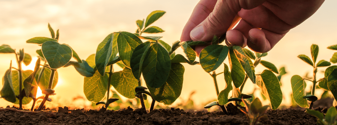
Today, agricultural leaders face immense pressure – specifically in meeting the food demand of the growing population. Even as our world works to meet this global need, industry challenges are making crop loss more prevalent – whether it’s because of drought...
by Alyssa Pfaff | May 26, 2023 | Articles
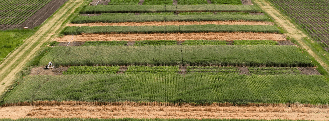
Throughout the years, the processes behind both data capture and analysis have evolved to meet the dynamic needs of ag research. Whether it be subjectivity, labor shortage constraints, or other limitations associated with manual data collection, technological...
by Alyssa Pfaff | May 23, 2023 | Articles
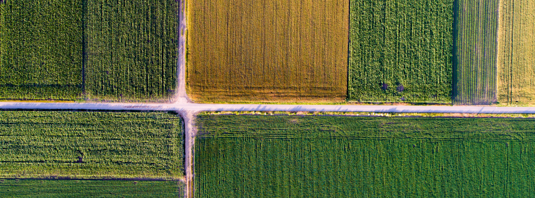
Seed breeding advancements are critical to the future of our world – and, over the past several decades, there have been some amazing innovations to propel us ahead. With a drive towards more sustainable farming practices and augmenting the amount of food we can grow...
by Alyssa Pfaff | May 16, 2023 | Articles
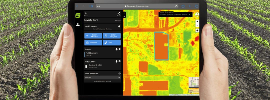
Ag technology has never been more vital in gaining precise and timely insight into what’s occurring at the field-edge. Aerial imagery captured by ag drone systems and satellites has made data collection more efficient than ever. While RGB aerial imagery provides...
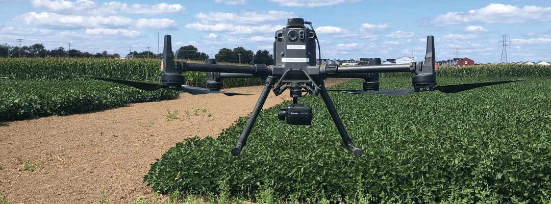
by Alyssa Pfaff | May 9, 2023 | Articles
Drone technology in agriculture has provided solutions to a variety of challenges by providing more efficient and accurate data capture, with less resources. And gaining deeper insight into field and plot performance starts before the actual data capture itself. ...


